Waqrapukara Tour from Cusco: Hike to the Inca Horn Fortress
Full Day
Up to 10 travelers
4,580 m / 15,026 ft
Moderate
Overview
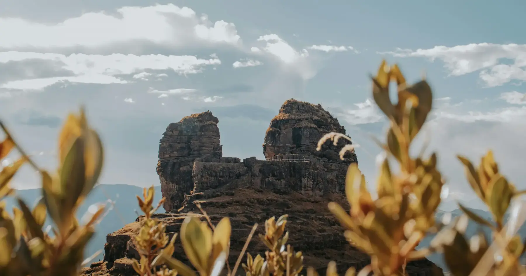
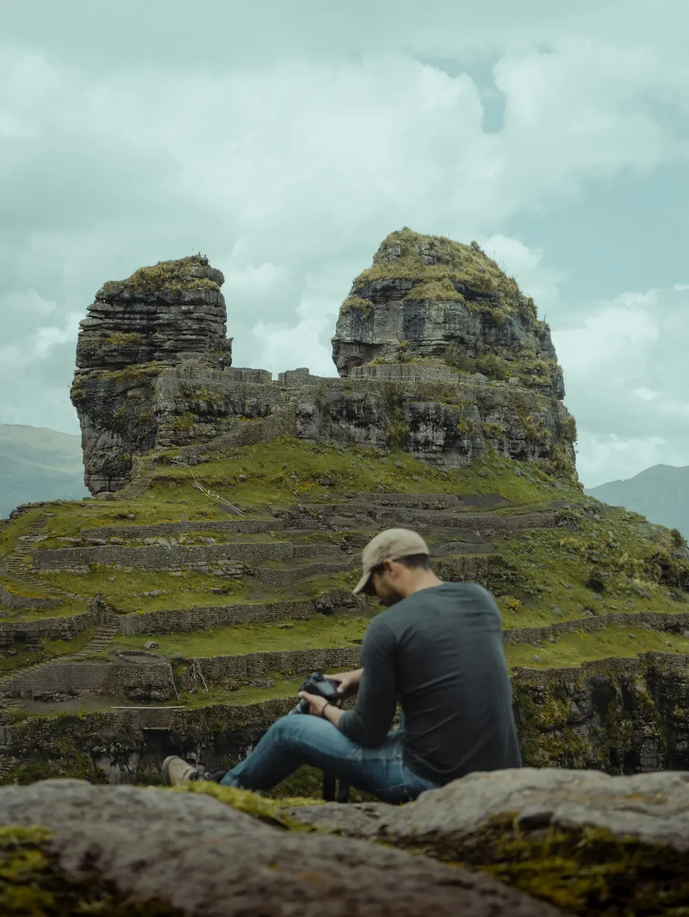
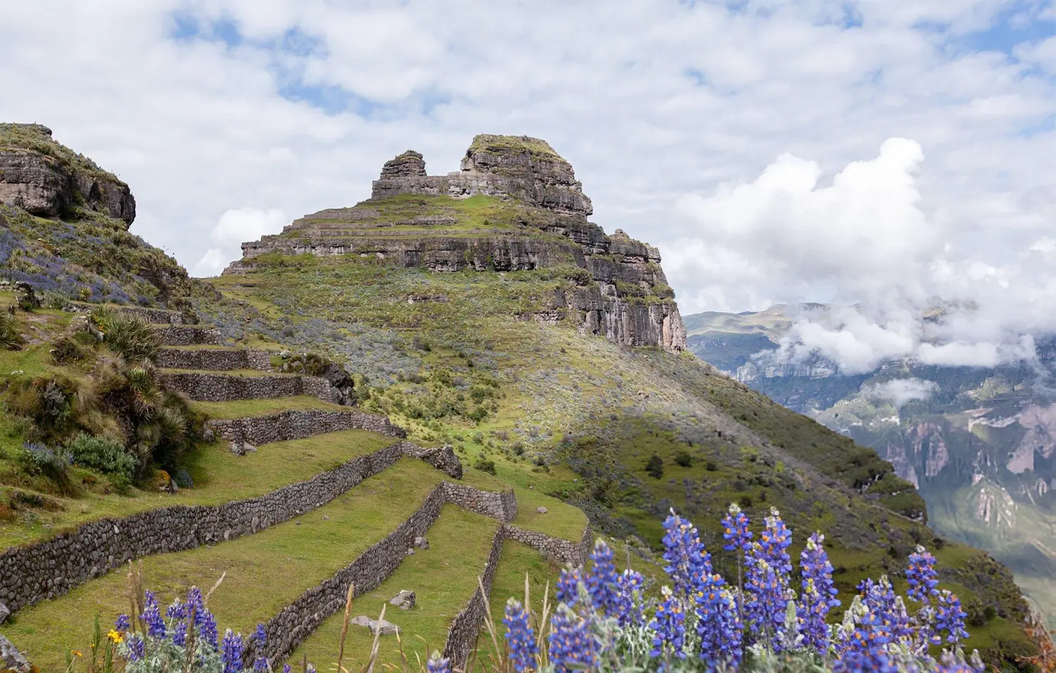
Waqrapukara is an archaeological complex in the district of Acos, Acomayo province, built around two rock peaks that give it its Quechua name, “horn fortress”. Its walls, terraces and doorways stand above the Apurímac River canyon, surrounded by open puna. This full-day tour combines a high-altitude hike with time to explore one of the most striking archaeological settings in the Cusco region.
Highlights of the route
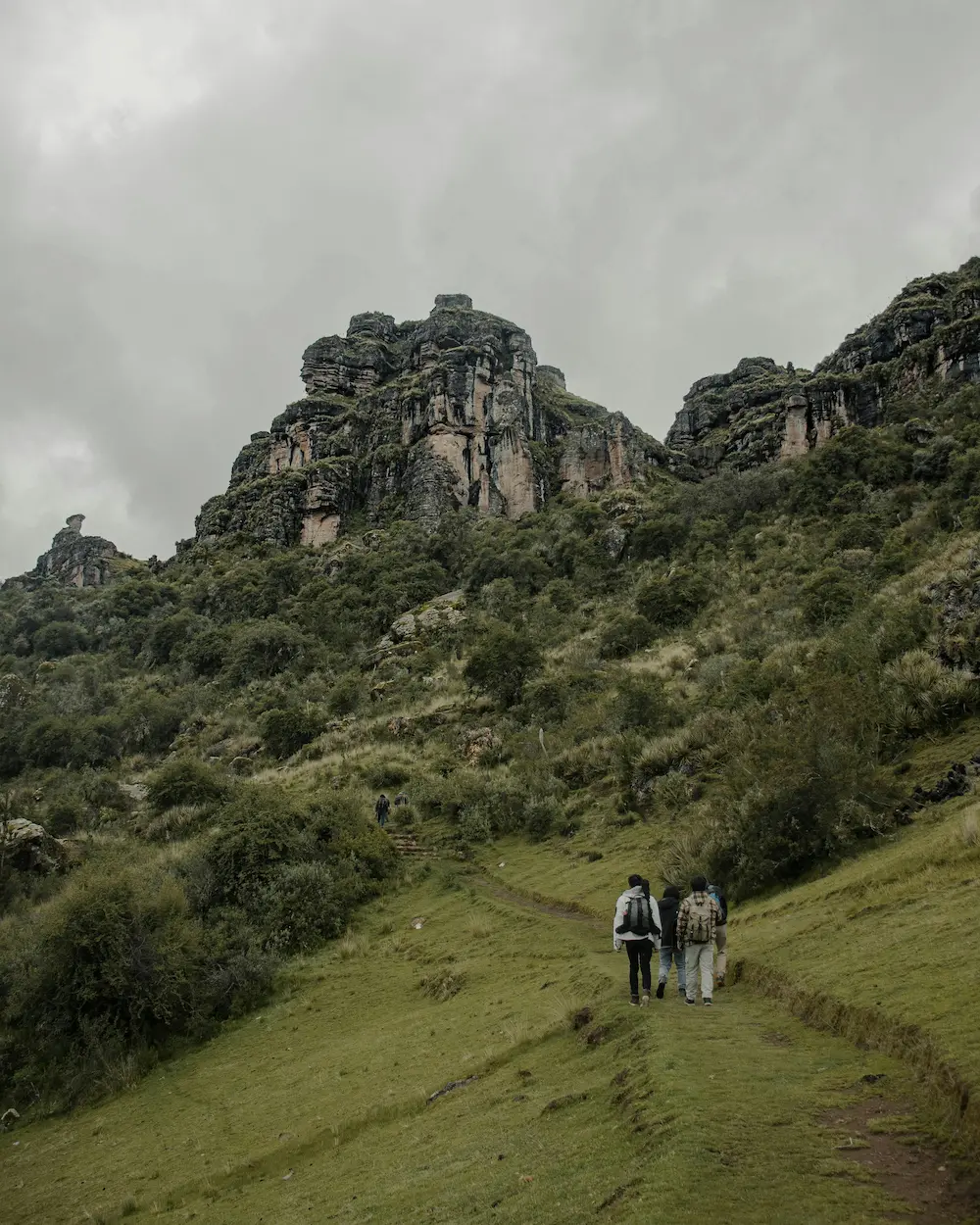
- The puna crossing: a walk across open highland plateau from the Sangarará side, with wide views of the surrounding mountains.
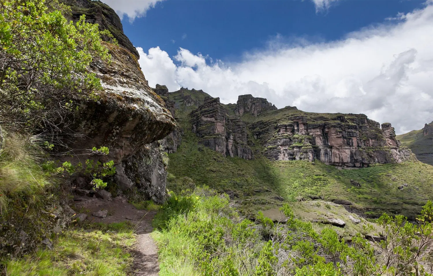
- The canyon rim: the trail drops toward the canyon and the two “horns” of Waqrapukara come into view.
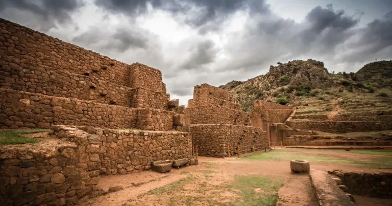
- The complex: walls, terraces and triple-jamb doorways beneath the rock peaks. According to Andina, the site was first occupied by the Qanchi people and later taken over by the Incas, and it was declared Cultural Heritage of the Nation on 19 July 2017. Your guide explains its possible ceremonial and defensive roles and the meaning of its name.
What's Included
Included 6
- Pre-tour coordination
- Professional bilingual guide
- Round-trip tourist transport
- First-aid kit and emergency oxygen
- Small-group assistance
- Breakfast and lunch
Not Included 4
- Tourist entrance fees unless expressly stated
- Travel insurance
- Personal expenses and tips
- Services or activities not described in the itinerary
What Should You Bring? 7
- Passport or ID
- Water
- Sun protection
- Comfortable walking shoes
- Warm layers
- Rain jacket or poncho
- Small amount of cash
Itinerary
1
Road to Acomayo
Cusco – Sangarará area
Early pickup in Cusco, breakfast and a drive south through the valleys of the province of Acomayo to the Waqrapukara parking area on the Sangarará side, at 4,440 m (14,567 ft).
2
Plateau hike
Trailhead – Waqrapukara
Guided hike across the puna to a high point of 4,580 m (15,026 ft) at km 2.9, then a descent to the canyon rim (4,310 m, km 5) with views that open gradually over the canyon, and on to Waqrapukara at 4,110 m (13,484 ft), at km 6.9.
3
Archaeological visit
Waqrapukara – Cusco
Guided exploration of the complex and a lunch break. Return along the same trail to the parking area (13.8 km in total, with the main climb on the way back) and drive back to Cusco.
Route & elevation profile
- 13.8 kmhiking distance (8.6 mi)
- 4,580 mhighest point on foot: Puna high point (15,026 ft)
- +470 melevation gain from Waqrapukara parking
- km 0 Waqrapukara parking Plateau trailhead (Sangarará side)
- km 2.9 Puna high point Open highland plateau
- km 5 Canyon rim Descent with canyon views
- km 6.9 Waqrapukara Inca 'horn fortress' above the canyon
- km 13.8 Waqrapukara parking Return along the same trail
Good to know
Difficulty and altitude
The tour is rated moderate. Our route profile starts at the Waqrapukara parking area at 4,440 m (14,567 ft), climbs to a puna high point of 4,580 m (15,026 ft) at km 2.9, descends to the canyon rim at 4,310 m (14,140 ft) at km 5 and reaches Waqrapukara at 4,110 m (13,484 ft) at km 6.9. You return along the same trail, for a total of 13.8 km (8.6 mi) and about 610 m (2,000 ft) of cumulative climbing. The hardest part comes on the way back: about 470 m (1,540 ft) of ascent from the site to the high point.
Waqrapukara is lower than Rainbow Mountain (5,036 m, 7.4 km round trip), but the hike is almost twice as long. Read our guide to altitude sickness in Cusco before you go.
Who this tour is for
Hikers in good shape who have spent at least two nights in Cusco and want an archaeological site with few crowds and a real walk to reach it. It is not a good choice for your first days at altitude.
Best time to go
The dry season, roughly May to October, brings the most stable weather in the Cusco highlands (Andina). Andina also notes that the rainy season gives the landscape a more dramatic look, but expect a wetter, muddier trail.
What to bring
Passport or ID, water, sun protection, comfortable walking shoes with good grip, warm layers, a rain jacket or poncho and some cash for entrances and personal expenses.
Good to know
- Breakfast and lunch are included, and groups are limited to 10 travelers.
- The trail used depends on road and weather conditions, and the guide may adjust the order of the day without removing the main experience.
- Travel insurance, personal expenses and tips are not included.
Frequently Asked Questions
How long is the Waqrapukara hike?
Our route profile measures 13.8 km (8.6 mi) round trip on the same trail: 6.9 km from the parking area to the site and 6.9 km back, with about 610 m (2,000 ft) of cumulative climbing.
How high is Waqrapukara?
The site is at 4,110 m (13,484 ft) on our route profile. The highest point of the day is a puna crest at 4,580 m (15,026 ft), and the trail starts at 4,440 m (14,567 ft).
How difficult is it?
Moderate. The trail is not technical, but the altitude and the return climb of about 470 m (1,540 ft) from the site to the high point make it a demanding day. Walk at a steady pace and drink water regularly.
Do I need to acclimatize first?
Yes. Spend at least two nights in Cusco before this tour and avoid strenuous activity if you feel symptoms of altitude sickness. Our altitude sickness guide explains the warning signs.
What does Waqrapukara mean and who built it?
In Quechua the name means “horn fortress”, after the two rock peaks of the site. Andina reports that it was first occupied by the Qanchi people and later integrated by the Incas, and that it was declared Cultural Heritage of the Nation in July 2017.
How does it compare with Rainbow Mountain?
Waqrapukara reaches 4,580 m (15,026 ft), lower than the 5,036 m (16,522 ft) of Rainbow Mountain, but the hike is longer: 13.8 km against 7.4 km round trip. It combines the high-Andean landscape with a major archaeological site.
When is the best time to go?
The dry season, roughly May to October, is the most stable in the Cusco highlands (Andina). In the rainy months the trail can be muddy, so bring good-grip shoes and a rain jacket.
Which meals are included?
Breakfast and lunch are included. Bring water and snacks for the hike, plus some cash for personal expenses.