Choquequirao Trek 4 Days / 3 Nights
4 Days
Up to 8 travelers per guide (16 with 2 guides)
3,064 m
Challenging
Choquequirao Trek 4 Days: the other lost city of the Incas
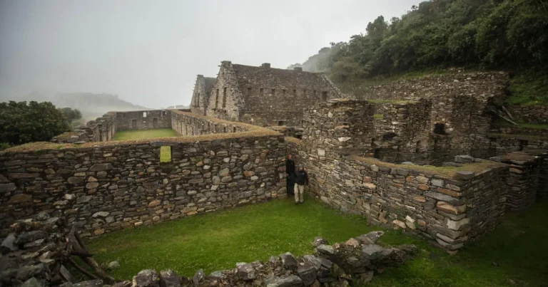
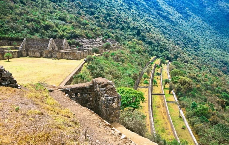
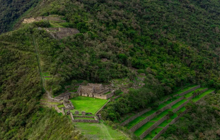
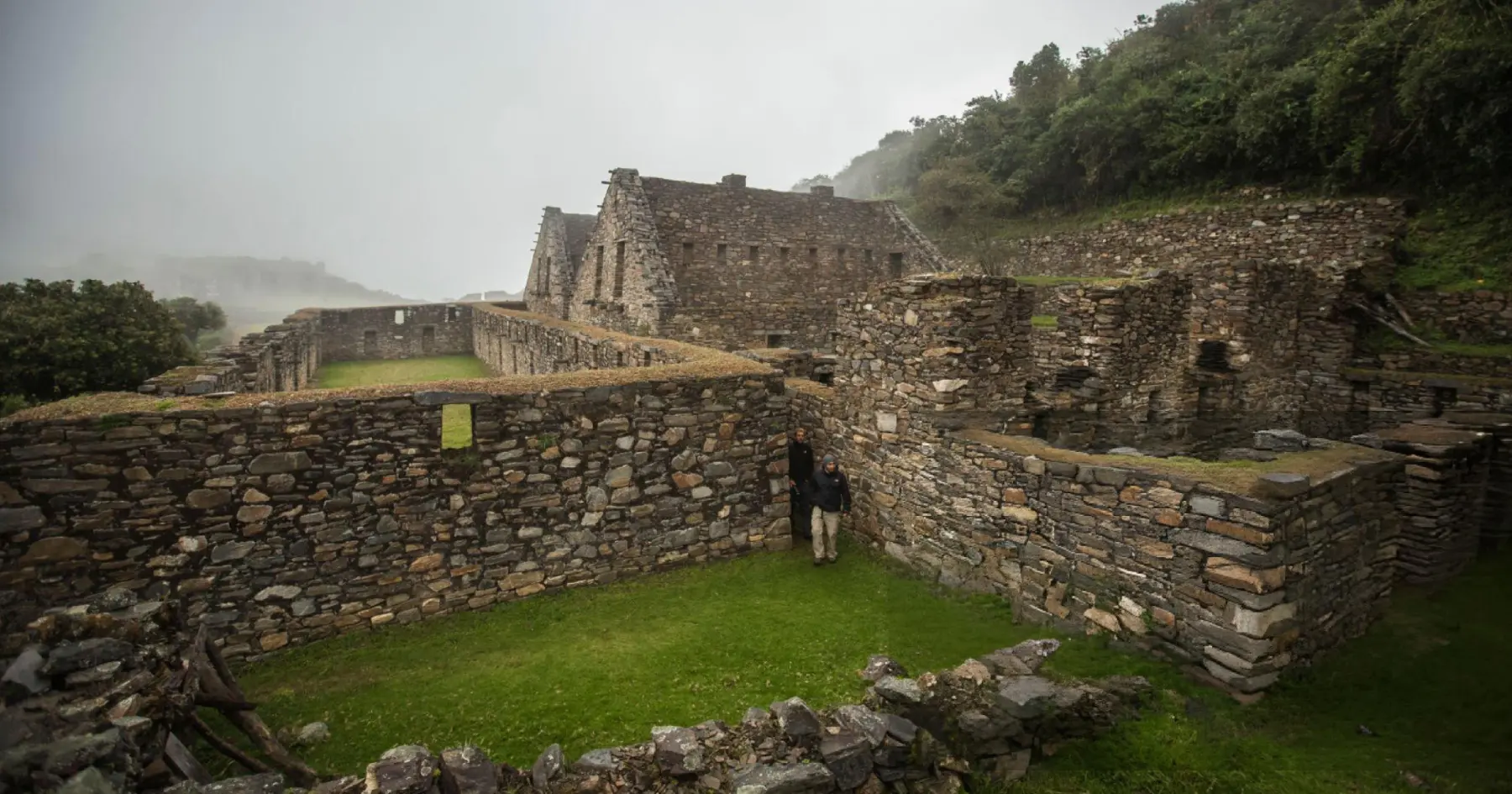
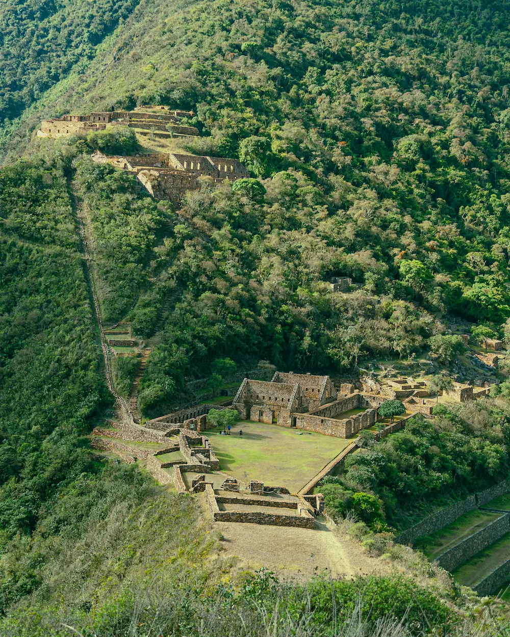
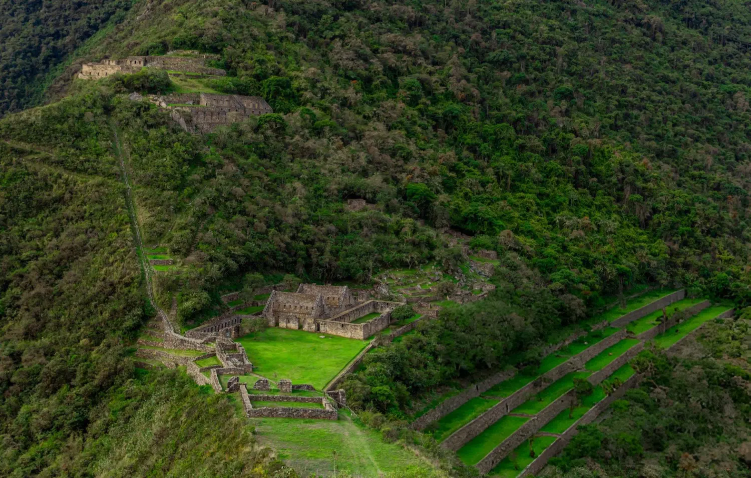
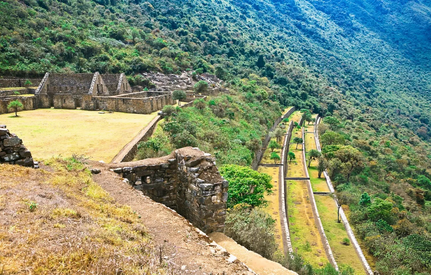
Choquequirao is one of the largest Inca sites in Peru and is often called the “sister” of Machu Picchu. It sits at 3,064 m above the Apurímac canyon and can only be reached on foot, so you share it with very few visitors. This 4-day trek goes down to the Apurímac river and climbs back up to the ruins, with three nights of camping, a cook and mules carrying the camping equipment.
It is a demanding hike: about 40 km with long, steep descents and climbs. It is ideal for travelers who already hike and want an Inca site without crowds.
What’s included in the Choquequirao Trek
Included 12
- Hotel pick-up in Cusco
- Professional bilingual guide (English / Spanish)
- Round-trip transport Cusco – Capuliyoc – Cusco
- Entrance ticket to Choquequirao
- Cook and meals during the trek, as per itinerary
- Boiled and filtered drinking water during the trek
- Mules and muleteers to carry the camping equipment
- Extra mule for your personal luggage (up to 7 kg / 15 lb per person)
- Camping equipment: tents, dining tent and kitchen tent
- Sleeping mat (insulating pad)
- First aid kit and emergency oxygen
- Emergency horse
Not Included 5
- Breakfast on day 1 and dinner on day 4
- Sleeping bag (available for rent: US$20 per person)
- Trekking poles (available for rent: US$20 per person)
- Travel insurance
- Tips for the guide, cook and muleteers
What Should You Bring? 10
- Original passport
- Hiking boots
- Daypack
- Rain jacket
- Warm layers for the nights
- Sun hat and sunscreen
- Insect repellent
- Reusable water bottle
- Headlamp
- Cash in soles
Choquequirao Trek 4 Days Itinerary
1
Day 1
Cusco – Cachora – Capuliyoc – Playa Rosalina
Early pick-up from your hotel in Cusco and drive (about 4 hours) to the Capuliyoc viewpoint (2,918 m), with the first views of the Apurímac canyon. Here you meet the muleteers who carry the camping equipment.
Descend about 9 km on a steep trail to Playa Rosalina (1,550 m), next to the Apurímac river, where our cook prepares dinner and the camp is ready.
Hiking: about 9 km · mostly downhill · 5–6 hours
2
Day 2
Playa Rosalina – Santa Rosa – Marampata – Choquequirao
Cross the bridge over the Apurímac and start the big climb of the trek: Santa Rosa (2,095 m) and then Marampata (2,900 m), where Choquequirao appears for the first time across the valley.
Continue on a gentler path to the campsite near the ruins (3,064 m at the main square).
Hiking: about 10 km · steep uphill · 6–7 hours
3
Day 3
Choquequirao – Marampata – Playa Rosalina – Chiquisca
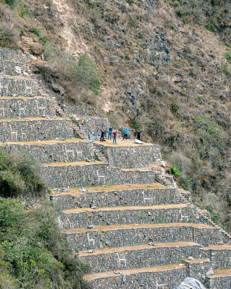
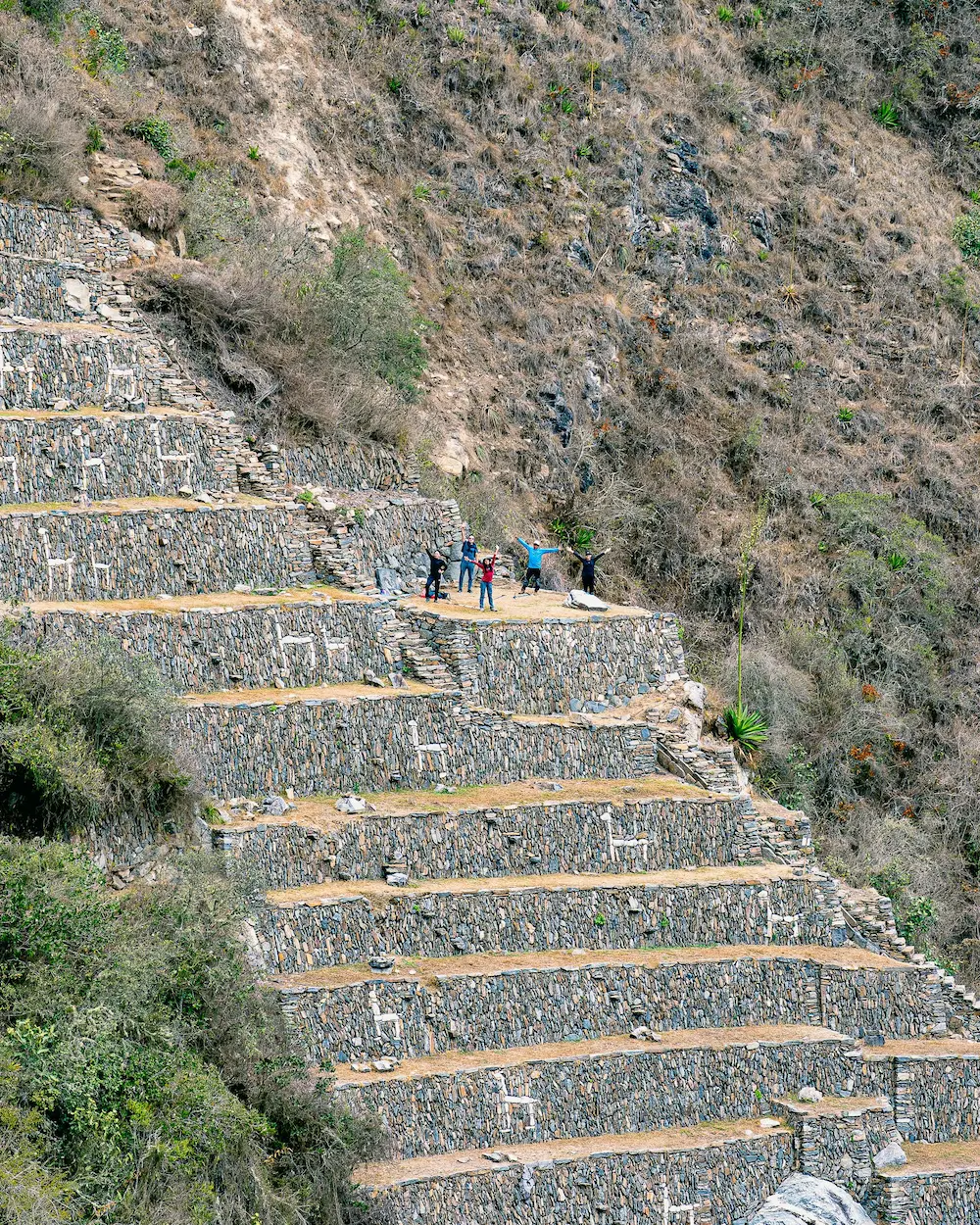
Guided visit of Choquequirao: the main square, the ceremonial platform (ushnu) and the famous terraces with white stone llamas. Afterwards, return to Marampata, descend to the Apurímac river at Playa Rosalina (1,550 m), cross the bridge and climb to camp at Chiquisca (1,900 m).
Hiking: about 13 km including the visit · uphill and downhill · 7–8 hours
4
Day 4
Chiquisca – Capuliyoc – Cusco
Final climb back to Capuliyoc (2,918 m), where the transport takes you back to Cusco, arriving in the evening.
Hiking: about 7 km · uphill · 4–5 hours
Choquequirao trek route & elevation profile
- 39 kmhiking distance (24.2 mi)
- 3,064 mhighest point: Choquequirao (10,052 ft)
- +2,882 melevation gain from Capuliyoc
- km 0 Capuliyoc Start · view over the Apurímac canyon
- km 7 Chiquisca
- km 9 Playa Rosalina Camp 1 · Apurímac river
- km 12 Santa Rosa
- km 15.5 Marampata First view of Choquequirao
- km 19.5 Choquequirao Camp 2 · guided visit on day 3
- km 29.5 Playa Rosalina (return) Cross the Apurímac again
- km 32 Chiquisca (return) Camp 3
- km 39 Capuliyoc (end) Transport back to Cusco
Good to know
Daily hiking distances and times
| Day | Section | Distance | Hiking time |
|---|---|---|---|
| 1 | Capuliyoc → Playa Rosalina (downhill) | ~9 km (5.6 mi) | 5–6 h |
| 2 | Playa Rosalina → Marampata → Choquequirao (uphill) | ~10 km (6.2 mi) | 6–7 h |
| 3 | Guided visit + descent to Chiquisca | ~13 km (8.1 mi) | 7–8 h |
| 4 | Chiquisca → Capuliyoc (uphill) | ~7 km (4.3 mi) | 4–5 h |
Is the Choquequirao cable car open?
No. A cable car to Choquequirao has been announced several times, but as of 2026 it is not operating. The only way to visit the site is on foot, which is exactly what keeps it quiet.
Best time to hike Choquequirao
The dry season, from April to October, has the most stable weather and dry trails. From November to March it rains more often and the steep sections become slippery. The canyon floor is hot and humid all year, while nights near the ruins are cool.
Choquequirao Trek FAQs
How difficult is the Choquequirao trek?
It is challenging. In four days you hike about 40 km with a descent of almost 1,400 m to the Apurímac river and climbs of more than 1,500 m. It is recommended for travelers who already hike regularly and have spent at least two days acclimatizing in Cusco.
What is the highest point of the trek?
The main square of Choquequirao, at 3,064 m (10,052 ft). The lowest point is Playa Rosalina, next to the Apurímac river, at 1,550 m (5,085 ft).
Do I need a permit like on the Inca Trail?
No. Choquequirao has no daily permit quota like the Inca Trail. You only need the entrance ticket, which is included in this tour.
Do mules carry my luggage?
Yes. Mules carry the camping equipment, the kitchen and up to 7 kg (15 lb) of your personal luggage, which we give you in a duffel bag the day before the trek. You only carry a daypack. An emergency horse also travels with the group.
Is Choquequirao open all year?
Usually yes, but the access trail can close temporarily after heavy rain. In 2026 it was closed from 1 February to late April for maintenance. If you travel between January and March, we confirm the status before you book.
Where do we sleep?
In tents at the campsites of Playa Rosalina, Choquequirao and Chiquisca. The campsites have basic toilets.
How big are the groups?
A maximum of 8 travelers per guide. Groups of 9 to 16 travelers go with two guides.
Is there a minimum number of travelers?
The price of USD 475 per person applies from 2 travelers. If you travel alone, ask us for a private quote.