In this article
- Quick answer
- Salkantay Trek elevation profile
- What makes the Salkantay Trek hard
- Altitude: how to prepare
- Salkantay vs Inca Trail vs Lares: which is harder?
- Is the Salkantay Trek dangerous? What to check in 2026
- Rules, fees and the last stretch
- How to train
- Is it worth it?
- Frequently asked questions
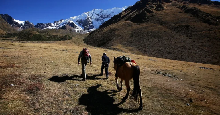
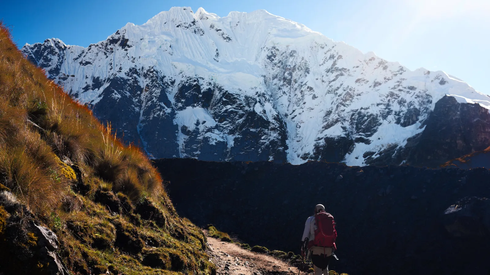
The Salkantay Trek is a challenging but non-technical trek: about 67 km in four days of hiking, with a pass at about 4,600 m below the glaciers of Salkantay. The hardest part is day 2, when you climb roughly 770 m to the pass and then descend more than 1,700 m into the cloud forest. This guide explains what makes it hard, day by day, how the altitude affects you, how it compares with the Inca Trail and Lares, and what to check before you go in 2026.
Sources: INEI (altitudes of the villages on the route), MINCETUR, El Peruano, SENAMHI, PeruRail, SERNANP, Andina and the US CDC, plus our own route profile. Checked on 14 October 2026.
Quick answer
- Difficulty: challenging. No climbing skills are needed, but you walk 6 to 9 hours a day for four days.
- Distance: about 67 km to Aguas Calientes on our route.
- Highest point: the Salkantay Pass, about 4,600 m. Official sources give 4,600 or 4,650 m; our route profile measures 4,630 m.
- Hardest day: day 2, about 19 km and 8 to 9 hours.
- Altitude: the first night is at Soraypampa (3,861 m), so acclimatize in Cusco first.
- Compared with the Inca Trail: longer and higher, with fewer Inca stairs.
Salkantay Trek elevation profile
The route climbs on day 1 from Challacancha to the camp at Soraypampa and up to Humantay Lake, crosses the pass early on day 2 and then drops all the way to the cloud forest. Days 3 and 4 are lower and warmer, but long: the final stretch from Hidroeléctrica follows the railway to Aguas Calientes.
Effort day by day
| Day | Route | Distance | Time | Height gain and loss |
|---|---|---|---|---|
| 1 | Challacancha – Soraypampa – Humantay Lake – Soraypampa | about 10 km | 5–6 h | About +180 m to camp, then +340 m to the lake and back down |
| 2 | Soraypampa – Salkantay Pass – Chaullay | about 19 km | 8–9 h | About +770 m to the pass, then about −1,750 m |
| 3 | Chaullay – La Playa – Lucmabamba | about 17 km | 6–7 h | About −810 m, mostly gentle |
| 4 | Lucmabamba – Llactapata – Hidroeléctrica – Aguas Calientes | about 21 km | 7–8 h | About +690 m to Llactapata, −860 m to Hidroeléctrica, then the railway path |
Distances and times come from our itinerary. Height differences are the net change between the start and end points of each section, calculated with the official altitudes; the trail goes up and down in between.
Download: Salkantay Trek day by day (PDF, 2 pages). The elevation profile, the effort of each day, the altitudes with their sources and what to check before you go in 2026.
Altitudes along the route
| Point | Metres | Feet | Source |
|---|---|---|---|
| Mollepata (village on the road) | 2,864 | 9,396 | INEI |
| Challacancha (start) | 3,677 | 12,064 | INEI |
| Soraypampa (camp 1) | 3,861 | 12,667 | INEI |
| Humantay Lake | 4,200 | 13,780 | MINCETUR |
| Salkantay Pass | 4,600–4,650 | 15,092–15,256 | El Peruano (our profile: 4,630) |
| Chaullay (camp 2) | 2,875 | 9,432 | INEI |
| La Playa | 2,094 | 6,870 | INEI |
| Lucmabamba (camp 3) | 2,062 | 6,765 | INEI |
| Llactapata (Inca site) | about 2,750 | about 9,020 | Our route profile |
| Hidroeléctrica station | 1,890 | 6,201 | PeruRail |
| Aguas Calientes | 2,092 | 6,864 | INEI |
What makes the Salkantay Trek hard
- The pass: the climb from Soraypampa starts before sunrise on a steep zigzag path, at altitudes where every step is slower.
- The long descent: from the pass to Chaullay you lose more than 1,700 m in one afternoon. Knees and toes feel it more than lungs; trekking poles help.
- The distance: about 67 km is much more than the Classic Inca Trail. Days 2 and 4 are around 20 km each.
- The cold: SENAMHI classes the high section as very cold, with winter lows in the high areas of Cusco of −8 to −4 °C and frosts from May. Soraypampa is the coldest night.
- Rain and mud: SENAMHI’s rainy season runs from October to March. The cloud forest section can be wet in any month.
Altitude: how to prepare
You sleep at Soraypampa (3,861 m) on the first night and cross the pass the next morning. The US CDC says altitude sickness can start when you sleep at 2,450 m or higher and recommends that, above 3,000 m, you do not raise the altitude where you sleep by more than 500 m a night. Cusco is at 3,439 m, so spending at least two days there first means the first camp is only about 420 m higher.
- Arrive early: spend at least two days in Cusco or the Sacred Valley before the trek. A day hike to Humantay Lake or Rainbow Mountain is too high for the first days.
- Walk slowly on the climbs and drink enough water.
- Medicines only with a prescription. Talk to your doctor before you travel.
- If symptoms get worse, go down. On this route your guide decides the fastest way down.
Compare the altitudes of the whole region in our guide to Machu Picchu elevation.
Salkantay vs Inca Trail vs Lares: which is harder?
| Salkantay | Classic Inca Trail | Lares | |
|---|---|---|---|
| Hiking distance | about 67 km | about 40 km | about 30 km |
| Highest point | about 4,600 m | 4,215 m | 4,680 m |
| Days of hiking | 4 | 4 | 3 |
| Main difficulty | Distance, a high pass and a very long descent | Stone stairs and the climb to Dead Woman’s Pass | A high pass on short days |
| Permit | Not needed | Required, limited | Not needed |
For most hikers Salkantay is the hardest of the three because of its length and the pass, while the Inca Trail is harder on the legs because of its stairs. Read the full comparison in the best treks to Machu Picchu and our Classic Inca Trail guide.
Is the Salkantay Trek dangerous? What to check in 2026
With a guide, good gear and acclimatization, it is a safe trek, but it crosses unstable mountain terrain. Before you go, check the current access:
- Access from Mollepata: the only way to Humantay Lake and the Salkantay Pass is the road from Mollepata to Challacancha and Soraypampa. In 2026 visits were suspended on 6 February because of landslides at Balconpata and resumed on 6 March. Check for notices before your dates.
- Humantay Lake: ice falls from the Humantay glacier onto the lake are infrequent. In 2026 there were two, on 27 July and 23 September, with no injuries. The regional tourism office (GERCETUR) keeps an alert in place, and our guides give safety instructions at the shore.
- The railway path: landslides at Mandor closed the walk from Hidroeléctrica to Aguas Calientes, and the trains, on 25 January 2026 and from 30 March to 6 April 2026.
- Emergencies: iPerú, Peru’s tourist information and assistance service, answers 24 hours on (01) 574-8000 and on WhatsApp +51 944 492 314. There are health centres in Mollepata and Santa Teresa.
Rules, fees and the last stretch
- No permit: unlike the Inca Trail, the Salkantay route needs no permit, and the route from Mollepata to Llactapata lies outside the Machu Picchu Historic Sanctuary. The walk from Hidroeléctrica to Aguas Calientes is inside it.
- Entrance fee: S/ 20 for foreign visitors, charged in Mollepata for Humantay Lake and the trail. On our tour it is included.
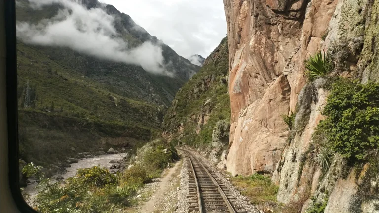
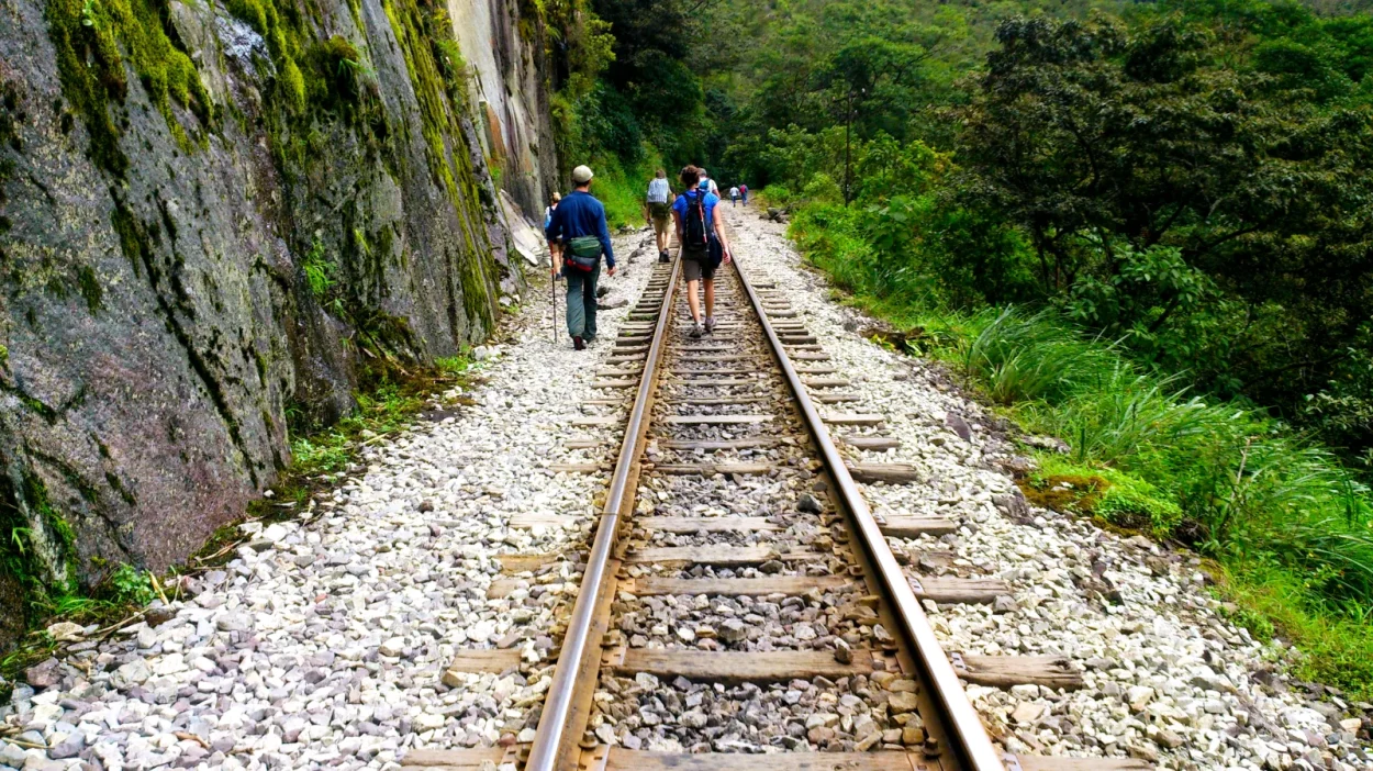
- From Hidroeléctrica: PeruRail says the train to Aguas Calientes takes about 30 minutes and the walk along the railway about 2.5 hours. In its May–December 2026 timetable, trains leave Hidroeléctrica at 07:54 and 14:50.
How to train
- Long walks: build up to full days of 6 to 8 hours of walking with a daypack.
- Hills and stairs: train both the climbs and the descents; the descent after the pass is the part most people underestimate.
- Your boots: walk in them before the trip, and bring trekking poles.
- Sleep: the first night is cold and short; a good sleeping bag makes a difference.
Is it worth it?
If you want high mountains, Humantay Lake and the change from glaciers to cloud forest, and you are fit enough for four long days, yes. If you would rather walk on original Inca stairs into Machu Picchu through the Sun Gate, choose the Inca Trail. See the itinerary and what is included on our Salkantay Trek 5 days page, and what to pack for the citadel in what to wear to Machu Picchu.
Frequently asked questions
How hard is the Salkantay Trek?
It is challenging: about 67 km in four days of hiking, a pass at about 4,600 m and a descent of more than 1,700 m on day 2. You do not need technical skills, but you should be used to long days on uneven trails.
Is Salkantay harder than the Inca Trail?
For most hikers, yes: it is longer (about 67 km against about 40 km) and its pass is higher (about 4,600 m against 4,215 m). The Inca Trail has more stone stairs.
What is the highest point of the Salkantay Trek?
The Salkantay Pass. Official sources give 4,600 or 4,650 m; our route profile measures 4,630 m.
How many days is the Salkantay Trek?
Our trek is 5 days and 4 nights: four days of hiking and a fifth day at Machu Picchu.
Do I need a permit or a guide for Salkantay?
No permit is needed, and we found no rule that requires a guide. Going with an operator covers the camp, the mules, the access logistics and safety.
Is the Salkantay Trek dangerous?
The main risks are altitude, cold and landslides. In 2026 the access from Mollepata was suspended for a month, and two ice falls on Humantay Lake caused no injuries. Check for notices before you go and follow your guide.
When is the best time to do the Salkantay Trek?
SENAMHI’s rainy season runs from October to March, so April to September is drier, with clearer skies but colder nights and frosts from May.
Can a beginner do the Salkantay Trek?
A fit beginner can, with training and two days of acclimatization in Cusco. If you have never walked several long days in a row, the Lares Trek or the Short Inca Trail are gentler options.