In this article
- Quick answer
- Machu Picchu altitude compared with Cusco, the Sacred Valley and Aguas Calientes
- Altitude table: Machu Picchu, Cusco and the treks nearby
- Why do sources say 2,430, 2,435 or 2,450 metres?
- Huayna Picchu and Machu Picchu Mountain elevation
- Elevation gain: how much do you climb?
- Will you get altitude sickness at Machu Picchu?
- A route that helps you acclimatize
- Frequently asked questions
Machu Picchu stands at 2,430 metres (7,972 feet) above sea level, according to UNESCO and Peru’s Ministry of Culture. That is about 1,010 m (3,310 ft) lower than Cusco, the city where almost every trip starts. This guide gives the altitude of Machu Picchu, Huayna Picchu, Aguas Calientes, the Sacred Valley and the treks nearby, each with its official source, and explains what the altitude means for your body.
Sources: UNESCO World Heritage Centre, Peru’s Ministry of Culture, INEI (Peru’s national statistics institute), MINCETUR’s tourist inventory, Andina, and the US CDC and UK NHS for altitude sickness. Checked on 13 October 2026.
Quick answer
- Machu Picchu citadel: 2,430 m (7,972 ft).
- Cusco: 3,439 m (11,283 ft), about 1,010 m higher than Machu Picchu.
- Aguas Calientes, the town below the ruins: 2,092 m (6,864 ft). The bus or the stairs climb about 340 m to the citadel.
- Huayna Picchu: about 2,720 m (8,924 ft) at the summit, roughly 290 m above the citadel.
- Altitude sickness: Machu Picchu sits just below the 2,450–2,500 m level where health agencies say the risk begins. The altitude you need to plan for is Cusco’s.
Machu Picchu altitude compared with Cusco, the Sacred Valley and Aguas Calientes
The usual route goes from the coast up to Cusco, down into the Sacred Valley, down again to Aguas Calientes, and then up to the citadel. The chart follows that route.
So Machu Picchu is not the highest point of a typical trip: Cusco is. The Sacred Valley towns are 450 to 570 m below Cusco, and Aguas Calientes is about 1,350 m below it.
Altitude table: Machu Picchu, Cusco and the treks nearby
| Place | Metres | Feet | Source |
|---|---|---|---|
| Machu Picchu citadel | 2,430 | 7,972 | UNESCO; Ministry of Culture |
| Huayna Picchu, summit | 2,720 | 8,924 | Ministry of Culture publication (2020) |
| Sun Gate (Inti Punku) | 2,720 | 8,924 | Andina |
| Machu Picchu Mountain, summit | No official figure | — | |
| Aguas Calientes (Machu Picchu Pueblo) | 2,092 | 6,864 | INEI |
| Cusco | 3,439 | 11,283 | INEI |
| Chinchero | 3,759 | 12,333 | INEI |
| Pisac | 2,986 | 9,797 | INEI |
| Urubamba | 2,885 | 9,465 | INEI |
| Ollantaytambo | 2,871 | 9,419 | INEI |
| Inca Trail start, Km 82 | about 2,650 | about 8,700 | MINCETUR |
| Dead Woman’s Pass, highest point of the Inca Trail | 4,215 | 13,829 | Andina |
| Short Inca Trail start, Km 104 | about 2,150 | about 7,050 | MINCETUR |
| Humantay Lake | 4,200 | 13,780 | MINCETUR |
| Rainbow Mountain (Vinicunca) | 5,036 | 16,522 | MINCETUR |
| Salkantay Pass | 4,600–4,650 | 15,092–15,256 | El Peruano |
| Lima | 161 | 528 | INEI |
Feet are converted from the official metres. Town altitudes come from INEI’s Cusco statistical compendium 2025, published in January 2026; earlier editions gave 3,399 m for Cusco and 2,060 m for Aguas Calientes, figures you will still find on many websites. MINCETUR also notes that the upper Rainbow Mountain viewpoint is above 5,200 m, and El Peruano gives both 4,600 and 4,650 m for the Salkantay Pass, so we give the range. Our own route profile puts it at 4,630 m.
Download: altitude chart from Lima to Machu Picchu, Humantay Lake and Rainbow Mountain (PDF, 2 pages), with every figure’s source and the health agencies’ acclimatization advice.
Why do sources say 2,430, 2,435 or 2,450 metres?
Machu Picchu is not a single point: the citadel spreads over terraces and plazas at different heights. That is why you see several numbers:
- 2,430 m is the figure UNESCO and the Ministry of Culture’s official Machu Picchu website give for the site. It is the one we use.
- About 2,435 m is the average altitude given by the archaeological park’s own researchers, in a Ministry of Culture publication (2020).
- About 2,453 m is the figure the Ministry of Culture’s Cusco office gives for the Sacred Plaza, one of the higher parts of the site.
- 2,450 m and 2,438 m are common on travel websites, but we did not find them as the official figure for the site.
Some websites also give wrong conversions to feet. 2,430 m is 7,972 ft.
Huayna Picchu and Machu Picchu Mountain elevation
The summit of Huayna Picchu is about 2,720 m, according to a Ministry of Culture publication: roughly 290 m above the citadel. Andina describes the climb as about 300 metres.
For Machu Picchu Mountain we found no official summit altitude. The official route panel only says that Circuit 1 takes you to the highest part of Machu Picchu. The figures of 3,061 or 3,082 m that you may see online come from tour operators and blogs, so we don’t quote them. What is official is the distance: 3.8 km round trip for Machu Picchu Mountain and 2.4 km for Huayna Picchu.
Compare both climbs, with tickets and time limits, in Huayna Picchu vs Machu Picchu Mountain.
Elevation gain: how much do you climb?
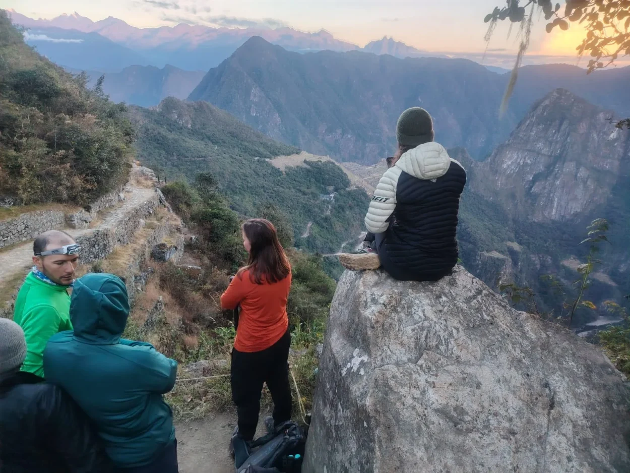
- Aguas Calientes to the citadel: about 340 m. Most visitors take the bus up the zigzag road, a ride of about 30 minutes. You can also walk up the stone stairs from the bridge at the foot of the mountain.
- Inside the citadel: the routes go up and down stone steps and terraces, but the changes in height are small.
- Huayna Picchu: about 290 m more, on steep, narrow Inca steps.
- Classic Inca Trail: from about 2,650 m at Km 82 up to 4,215 m at Dead Woman’s Pass, then down to 2,720 m at the Sun Gate. See the full profile on our Classic Inca Trail page.
- Short Inca Trail: from about 2,150 m at Km 104 up to the Sun Gate at about 2,720 m. See the Short Inca Trail guide.
Will you get altitude sickness at Machu Picchu?
At Machu Picchu itself the risk is low. The US CDC says altitude sickness can start when you sleep at 2,450 m or higher, and the UK NHS says it usually happens above 2,500 m. The citadel is at 2,430 m and Aguas Calientes, where people sleep, at 2,092 m.
The challenge is Cusco, at 3,439 m. Most travelers fly in from Lima, almost at sea level, and the CDC notes that rates of altitude sickness approach 50% among people who fly straight to high altitude. What the health agencies recommend:
- Sleep lower at first. The CDC notes that in Cusco travelers can go down to sleep below the airport’s altitude for the first one or two nights. That is why many itineraries start in the Sacred Valley or Machu Picchu and leave Cusco for the end.
- Go up slowly. Above 3,000 m, raise the altitude where you sleep by no more than 500 m a night (CDC, NHS).
- Take the first day easy and avoid alcohol for the first 48 hours (CDC).
- Drink enough water so you don’t get dehydrated (NHS). Drinking a lot more than usual does not prevent altitude sickness.
- Medicines only with a prescription. Peru’s Ministry of Health warns against taking acetazolamide without a doctor’s prescription. Talk to your doctor before you travel.
- If symptoms get worse, go down. Descending is the most effective treatment.
Read the full guide to altitude sickness in Cusco for symptoms and practical tips.
A route that helps you acclimatize
If you have the days, start low and finish high:
- Day 1: land in Cusco and go straight down to the Sacred Valley (2,871 to 2,986 m) to sleep.
- Day 2: take the train from Ollantaytambo to Aguas Calientes (2,092 m) and visit Machu Picchu.
- Day 3 onward: return to Cusco (3,439 m), already partly used to the altitude, before any high trek such as Humantay Lake or Rainbow Mountain.
Our Machu Picchu & Sacred Valley, 2 days starts from your hotel in Cusco, but you spend the night in Aguas Calientes, about 1,350 m lower. If you only have one day, the Machu Picchu Day Trip from Cusco takes you down to a lower altitude for the visit, but you sleep in Cusco before and after. See also things to do in the Sacred Valley and how to get to Machu Picchu from Cusco.
Frequently asked questions
Which is higher, Cusco or Machu Picchu?
Cusco. The city is at 3,439 m (11,283 ft) and Machu Picchu at 2,430 m (7,972 ft), so Cusco is about 1,010 m (3,310 ft) higher.
How high is Machu Picchu in feet?
7,972 feet, the conversion of the official 2,430 metres.
Will I get altitude sickness at Machu Picchu?
The risk at Machu Picchu itself is low, because it is just below the 2,450–2,500 m level where health agencies say altitude sickness can begin. The risk is higher in Cusco (3,439 m), especially in your first days after flying in.
How high is Huayna Picchu?
About 2,720 m (8,924 ft) at the summit, according to a Ministry of Culture publication: roughly 290 m above the citadel.
How high is Machu Picchu Mountain?
There is no official summit altitude. It is the higher of the two mountains, and the official round trip is 3.8 km. The 3,061 or 3,082 m figures online come from blogs and tour operators.
What is the highest point of the Inca Trail?
Dead Woman’s Pass (Warmiwañusqa), at 4,215 m (13,829 ft), on the second day of the Classic Inca Trail.
How high is Aguas Calientes?
2,092 m (6,864 ft), according to INEI. It is about 340 m below the citadel.
Is the Sacred Valley lower than Cusco?
Yes. Pisac is at 2,986 m, Urubamba at 2,885 m and Ollantaytambo at 2,871 m, between 450 and 570 m below Cusco. Chinchero, on one of the roads into the valley, is higher than Cusco, at 3,759 m.