Choquequirao Trek 4 Days / 3 Nights
4 Days
Up to 8 travelers per guide (16 with 2 guides)
3,064 m
Challenging
Choquequirao Trek 4 Days: the other lost city of the Incas
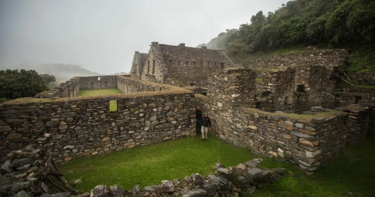
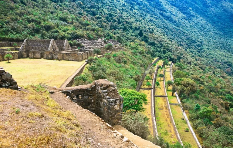
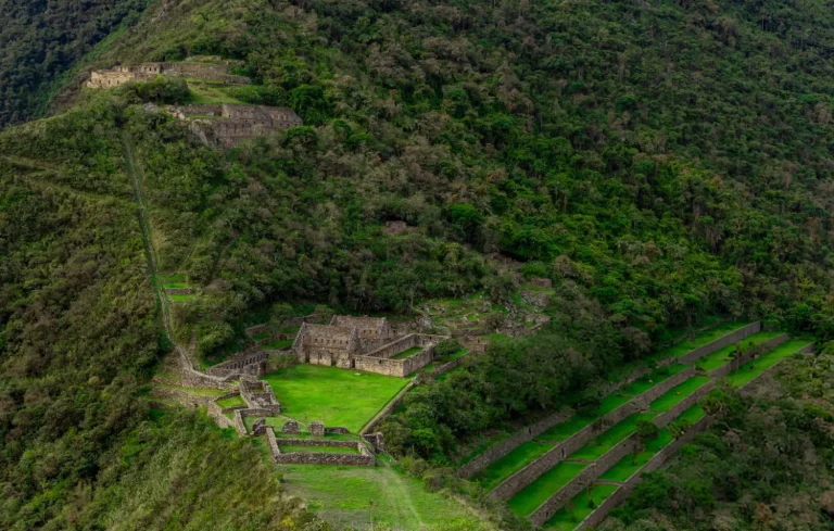
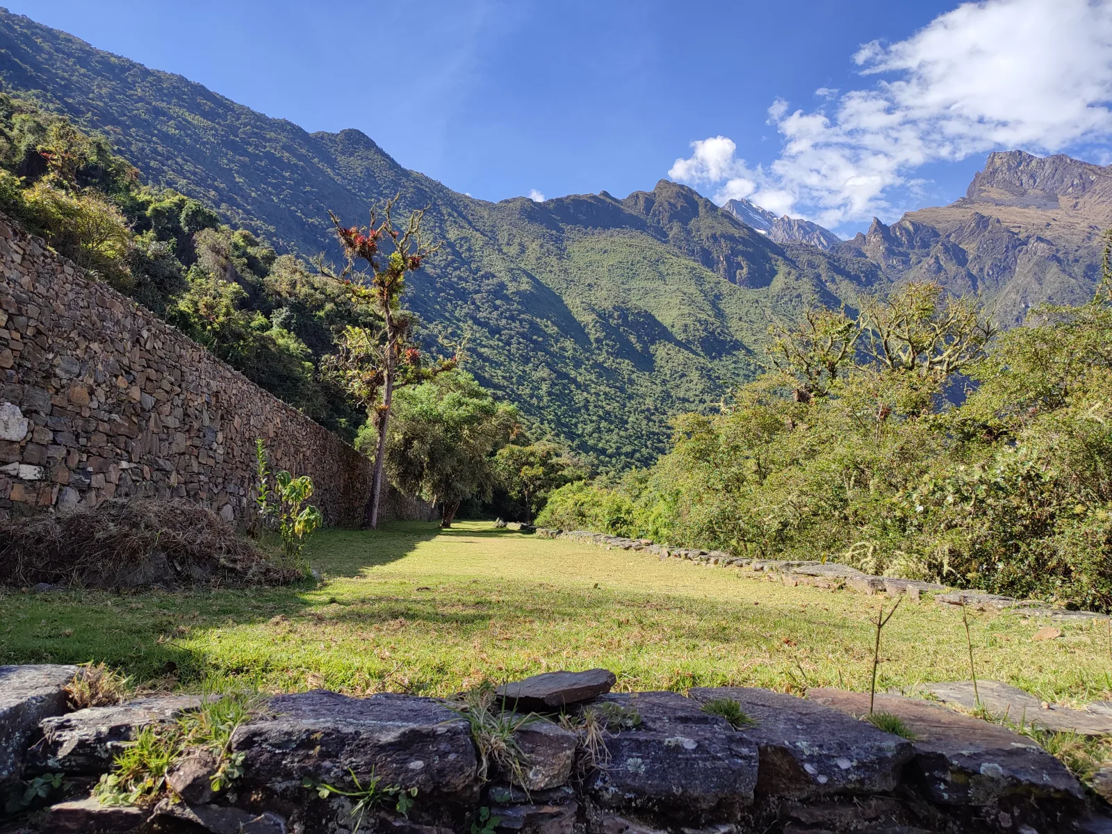
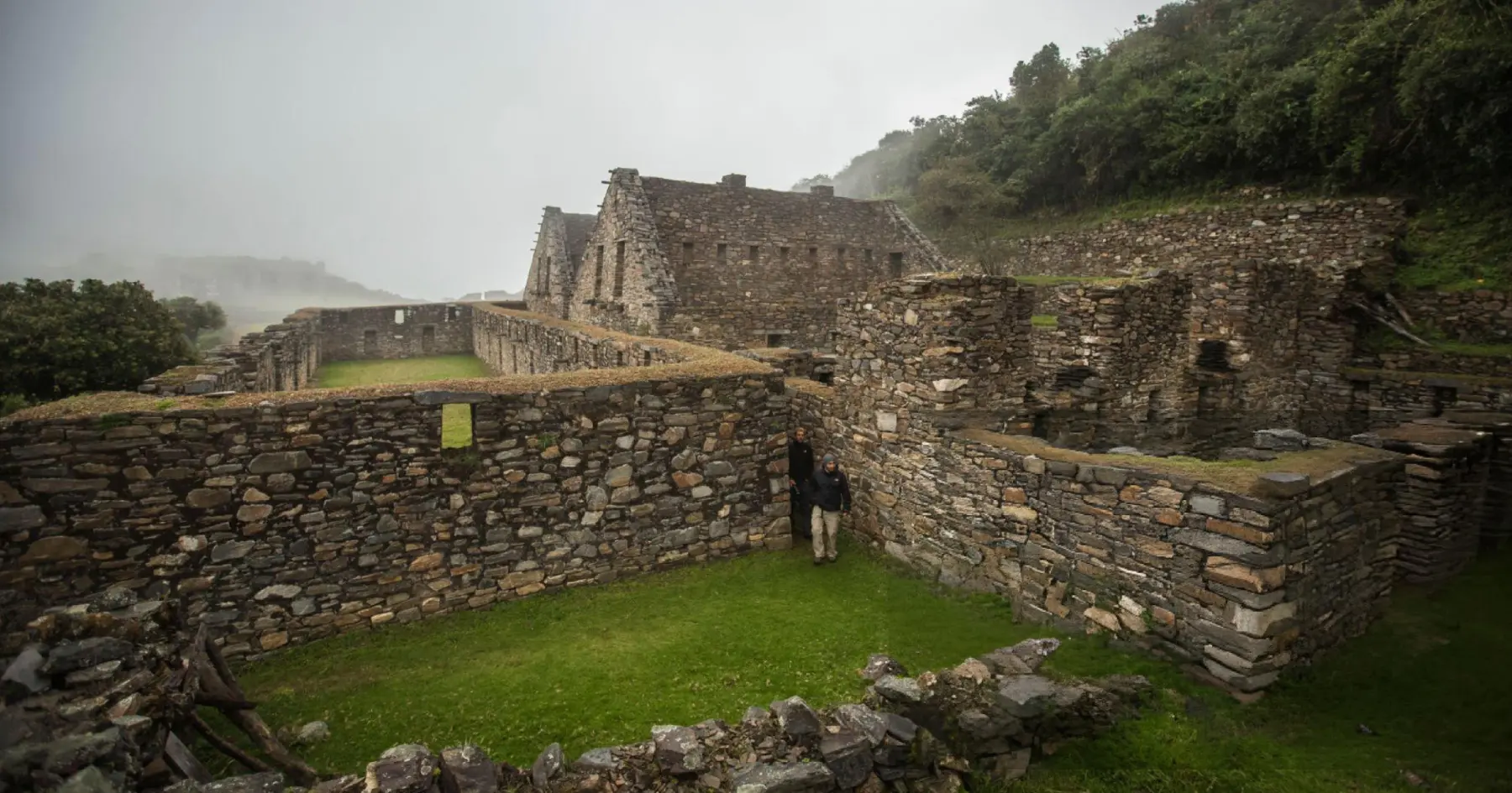
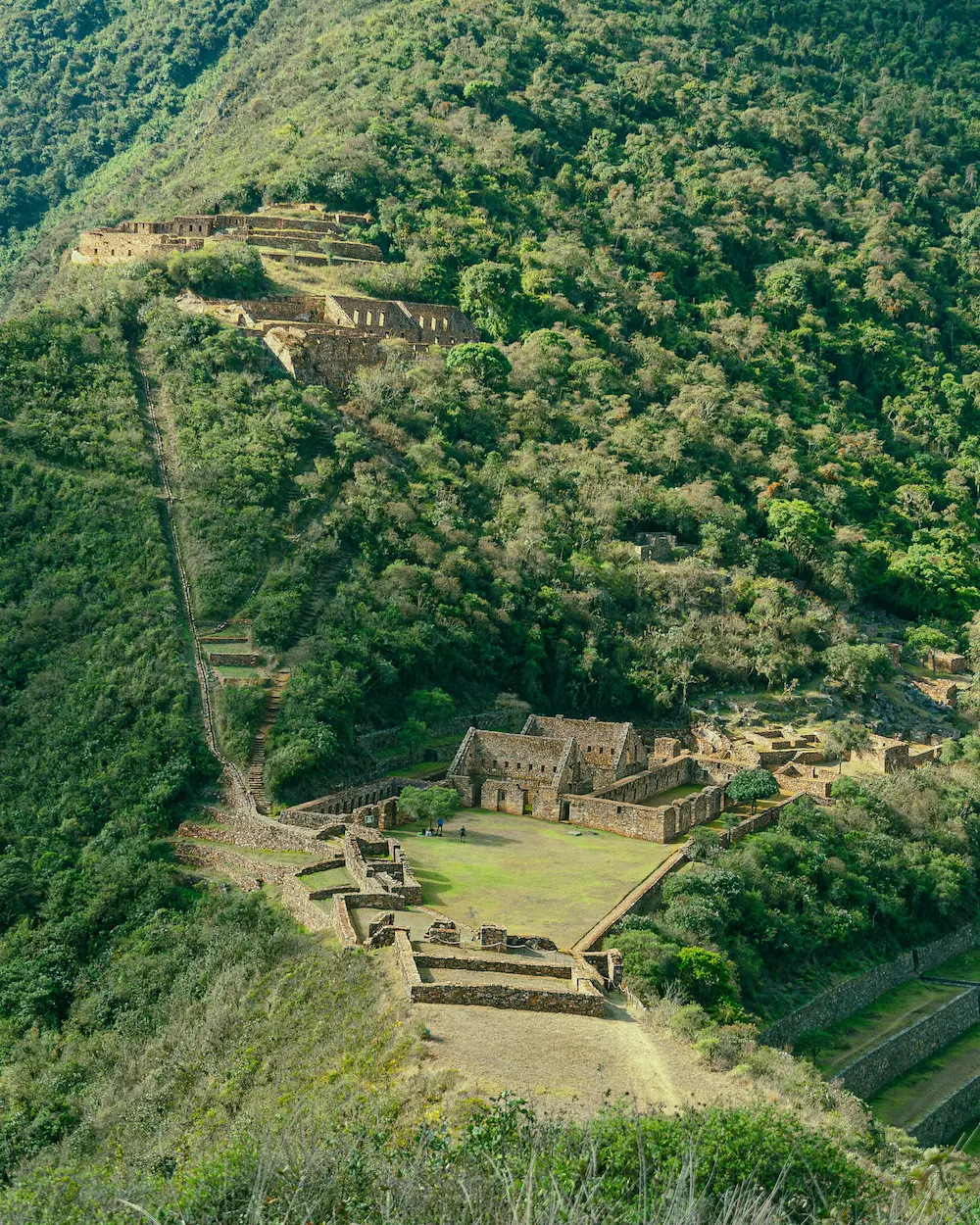
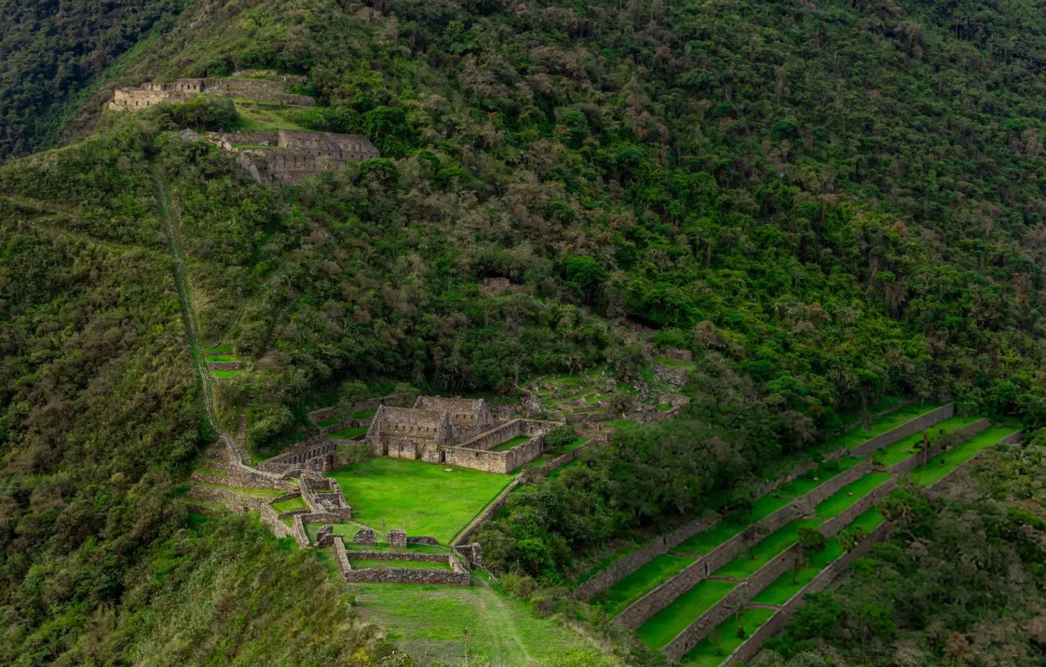
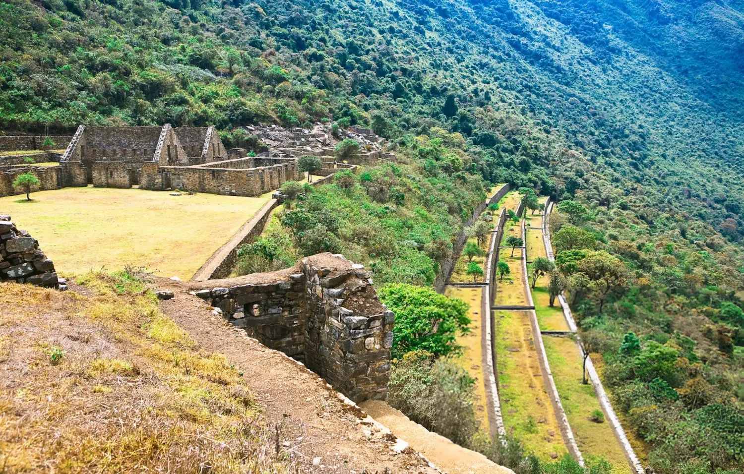
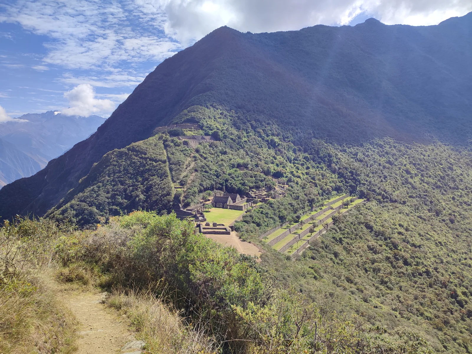
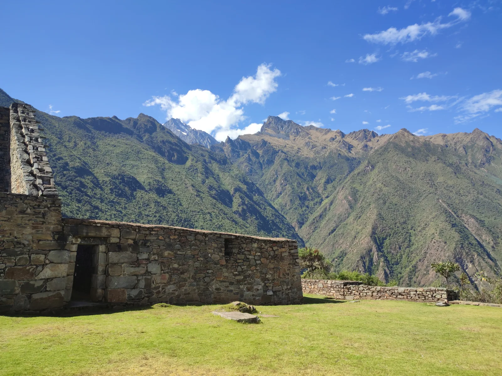
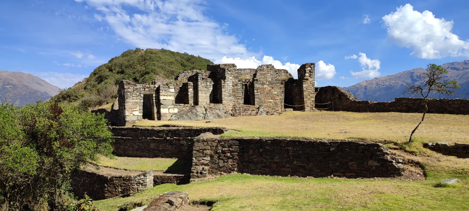
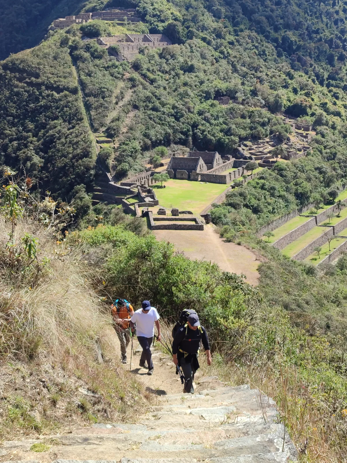
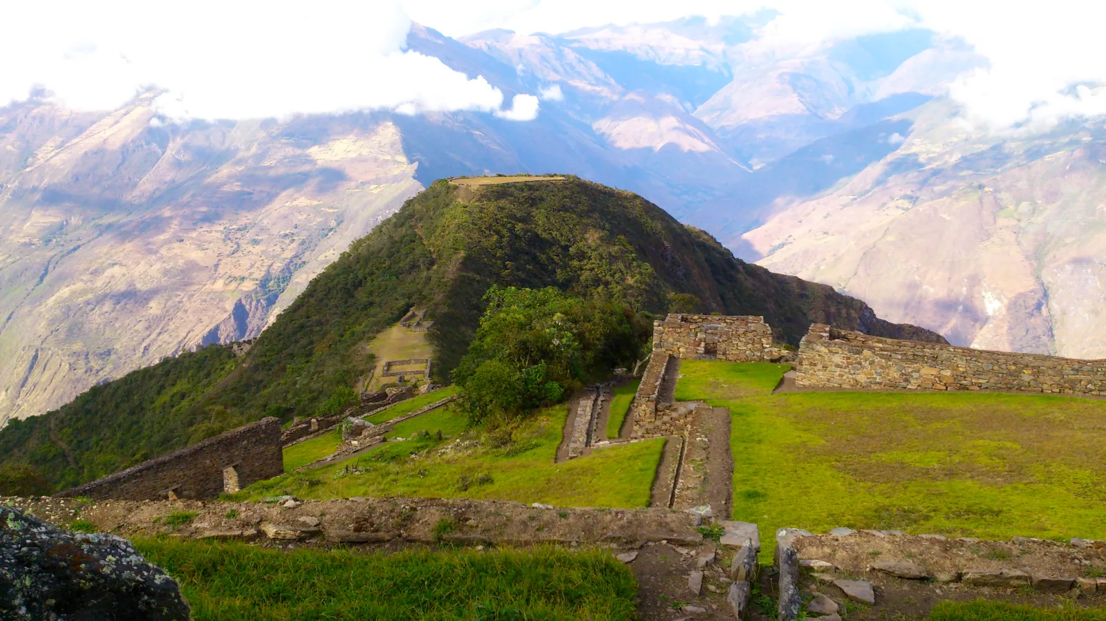
Choquequirao is one of the largest Inca sites in Peru and is often called the “sister” of Machu Picchu. It sits at 3,064 m above the Apurímac canyon and can only be reached on foot, so you share it with very few visitors. This 4-day trek goes down to the Apurímac river and climbs back up to the ruins, with three nights of camping, a cook and mules carrying the camping equipment.
It is a demanding hike: about 40 km with long, steep descents and climbs. It is ideal for travelers who already hike and want an Inca site without crowds.
Before you book, read our Choquequirao trek guide (route, training, history and what to pack), how to get to Choquequirao and Choquequirao vs Machu Picchu.
What’s included in the Choquequirao Trek
Included 12
- Hotel pick-up in Cusco
- Professional bilingual guide (English / Spanish)
- Round-trip transport Cusco – Capuliyoc – Cusco
- Entrance ticket to Choquequirao
- Cook and meals during the trek, as per itinerary
- Boiled and filtered drinking water during the trek
- Mules and muleteers to carry the camping equipment
- Extra mule for your personal luggage (up to 7 kg / 15 lb per person)
- Camping equipment: tents, dining tent and kitchen tent
- Sleeping mat (insulating pad)
- First aid kit and emergency oxygen
- Emergency horse
Not Included 5
- Breakfast on day 1 and dinner on day 4
- Sleeping bag (available for rent: US$20 per person)
- Trekking poles (available for rent: US$20 per person)
- Travel insurance
- Tips for the guide, cook and muleteers
What Should You Bring? 10
- Original passport
- Hiking boots
- Daypack
- Rain jacket
- Warm layers for the nights
- Sun hat and sunscreen
- Insect repellent
- Reusable water bottle
- Headlamp
- Cash in soles
Choquequirao Trek 4 Days Itinerary
1
Day 1
Cusco – Cachora – Capuliyoc – Playa Rosalina
Early pick-up from your hotel in Cusco and drive (about 4 hours) to the Capuliyoc viewpoint (2,918 m), with the first views of the Apurímac canyon. Here you meet the muleteers who carry the camping equipment.
Descend about 9 km on a steep trail to Playa Rosalina (1,550 m), next to the Apurímac river, where our cook prepares dinner and the camp is ready.
Hiking: about 9 km · mostly downhill · 5–6 hours
2
Day 2
Playa Rosalina – Santa Rosa – Marampata – Choquequirao
Cross the bridge over the Apurímac and start the big climb of the trek: Santa Rosa (2,095 m) and then Marampata (2,900 m), where Choquequirao appears for the first time across the valley.
Continue on a gentler path to the campsite near the ruins (3,064 m at the main square).
Hiking: about 10 km · steep uphill · 6–7 hours
3
Day 3
Choquequirao – Marampata – Playa Rosalina – Chiquisca
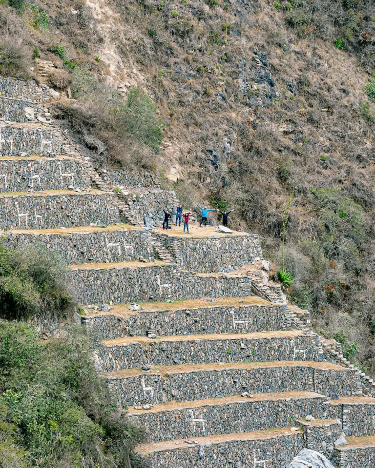
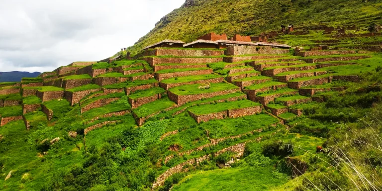
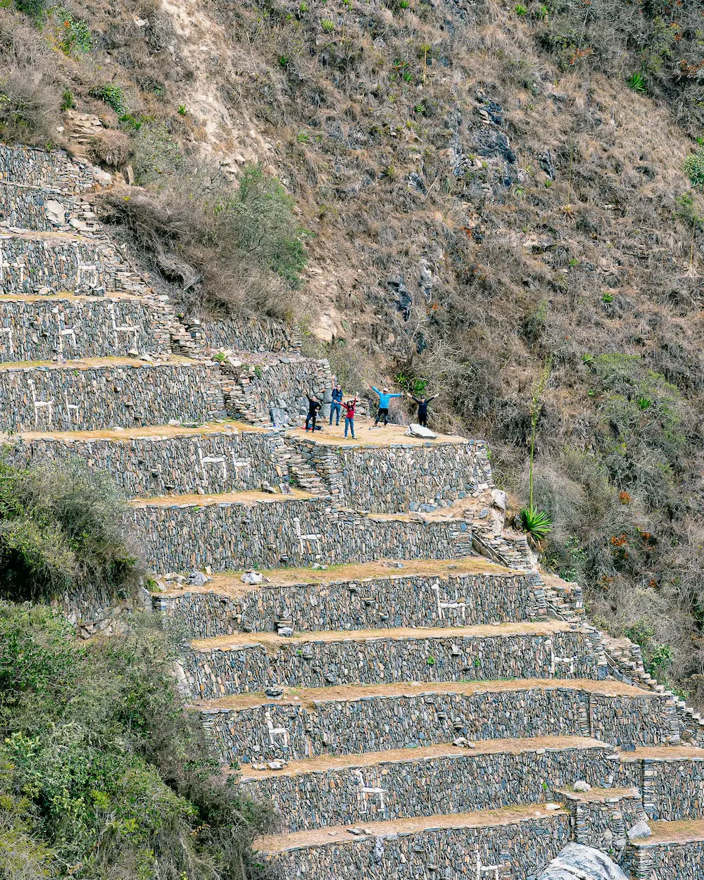
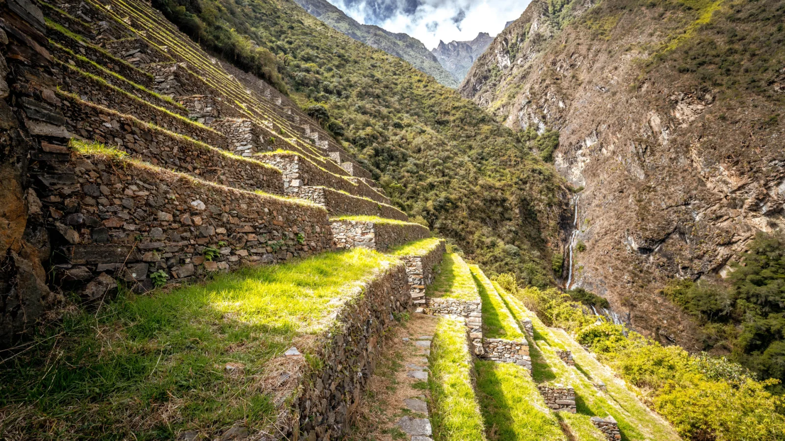
Guided visit of Choquequirao: the main square, the ceremonial platform (ushnu) and the famous terraces with white stone llamas. Afterwards, return to Marampata, descend to the Apurímac river at Playa Rosalina (1,550 m), cross the bridge and climb to camp at Chiquisca (1,900 m).
Hiking: about 13 km including the visit · uphill and downhill · 7–8 hours
4
Day 4
Chiquisca – Capuliyoc – Cusco
Final climb back to Capuliyoc (2,918 m), where the transport takes you back to Cusco, arriving in the evening.
Hiking: about 7 km · uphill · 4–5 hours
Choquequirao trek route & elevation profile
- 39 kmhiking distance (24.2 mi)
- 3,064 mhighest point on foot: Choquequirao (10,052 ft)
- +2,882 melevation gain from Capuliyoc
- km 0 Capuliyoc Start · view over the Apurímac canyon
- km 7 Chiquisca
- km 9 Playa Rosalina Camp 1 · Apurímac river
- km 12 Santa Rosa
- km 15.5 Marampata First view of Choquequirao
- km 19.5 Choquequirao Camp 2 · guided visit on day 3
- km 29.5 Playa Rosalina (return) Cross the Apurímac again
- km 32 Chiquisca (return) Camp 3
- km 39 Capuliyoc (end) Transport back to Cusco
Good to know
Choquequirao trek difficulty compared with the Inca Trail and Salkantay
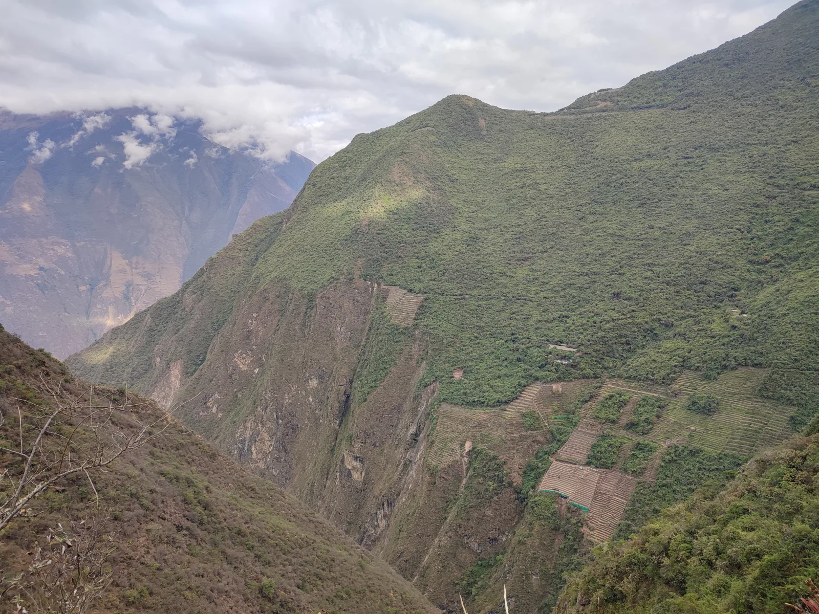
It is hard on the legs, not on the lungs. From Capuliyoc the trail drops almost 1,400 m to the Apurímac river and climbs more than 1,500 m on the other side to the ruins, and you do the same on the way back: about 2,900 m of climbing in total over four days. The route stays between 1,550 m and 3,064 m, so altitude is rarely the problem; the heat at the bottom of the canyon and the long descents on your knees are.
| Trek | Days | Distance | Highest point | Main challenge |
|---|---|---|---|---|
| Choquequirao (this tour) | 4 | About 40 km | 3,064 m | Two long canyon climbs and the heat |
| Classic Inca Trail | 4 | About 40 km | 4,215 m (Warmiwañusca pass) | Altitude and the climb to the pass on day 2 |
| Salkantay | 5 | About 70 km | About 4,650 m (Salkantay pass) | Altitude and the long descent after the pass |
In short: Choquequirao is the hardest on the legs, while the Classic Inca Trail and Salkantay are harder because of the altitude. Our Choquequirao trek guide has a 6-week training plan, and you can compare it with how hard the Salkantay trek is.
Daily hiking distances and times
| Day | Section | Distance | Hiking time |
|---|---|---|---|
| 1 | Capuliyoc → Playa Rosalina (downhill) | ~9 km (5.6 mi) | 5–6 h |
| 2 | Playa Rosalina → Marampata → Choquequirao (uphill) | ~10 km (6.2 mi) | 6–7 h |
| 3 | Guided visit + descent to Chiquisca | ~13 km (8.1 mi) | 7–8 h |
| 4 | Chiquisca → Capuliyoc (uphill) | ~7 km (4.3 mi) | 4–5 h |
Choquequirao at a glance: tickets, visitors and the cable car
- Where: on a mountain spur above the Apurímac river, in the Cusco region (province of La Convención). The main square is at 3,064 m (10,052 ft).
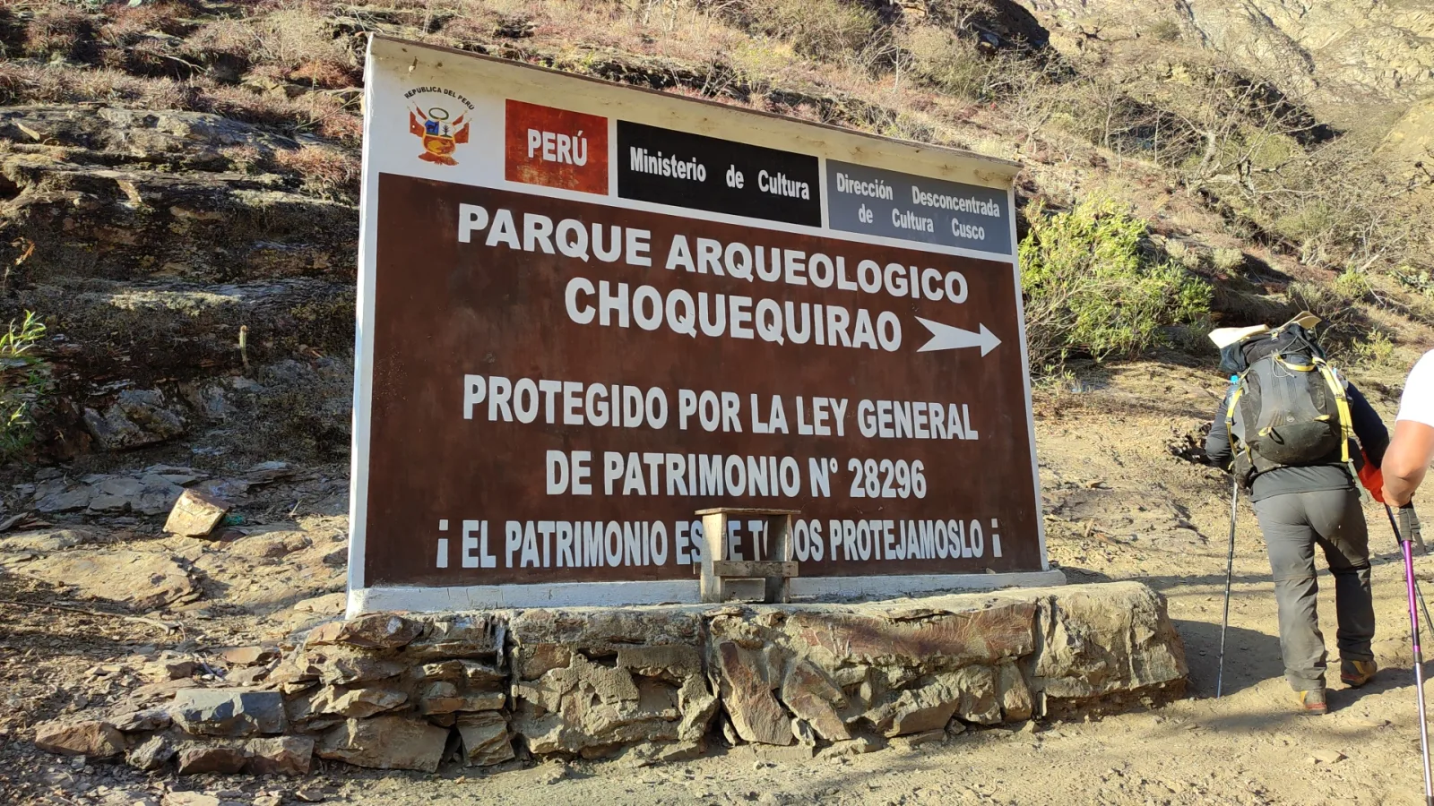
- Entrance: S/ 60 for adults, S/ 30 for university and technical students and S/ 25 for minors, under the Ministry of Culture’s tariff schedule in force since January 2025. It is included in this tour; bring your original passport for the control point.
- Visitors: about 8,000 to 9,000 a year, compared with up to 5,600 a day at Machu Picchu in the 2026 high season. That is why you often have the main square to yourself (see Choquequirao vs Machu Picchu).
- Opening: open all year, but the Ministry of Culture can close the access after heavy rain. In 2026 it was closed from 1 February and the route from Capuliyoc and Cachora reopened in April.
- Cable car: not built yet. ProInversión expected to award the concession between October and November 2026, with works starting in 2027 at the earliest, so the trek is still the only way in. Follow the project in our Choquequirao cable car update.
Sources: Peru’s Ministry of Culture (tariff schedule and 2026 closure notices), Ministerial Resolution 000285-2025-MC (Machu Picchu capacity), Andina and Gestión (visitor figures and the cable car tender). Page reviewed on 19 October 2026.
Best time to hike Choquequirao
The dry season, from April to October, has the most stable weather and dry trails. From November to March it rains more often and the steep sections become slippery. The canyon floor is hot and humid all year, while nights near the ruins are cool. If you travel between January and March, check how to get to Choquequirao, where we follow closures and reopenings.
Payment and cancellation
Payment
- A 50% deposit confirms your booking.
- You pay the remaining 50% in cash when you arrive in Cusco.
- Payments by PayPal carry a 7% surcharge to cover the payment platform's fees.
Cancellation
Cancellation fees per traveler, on the total cost of the tour:
- With 6 weeks (42 days) notice: 60%.
- With 2 weeks (14 days) notice: 80%.
- Within 7 days before the trip: 100%.
Inca Trail permits, train tickets and Machu Picchu entrances cannot be refunded once purchased.
If we have to cancel a tour, you get a full refund. Full conditions in our terms and conditions.
Choquequirao Trek FAQs
How difficult is the Choquequirao trek?
It is challenging. In four days you hike about 40 km with a descent of almost 1,400 m to the Apurímac river and climbs of more than 1,500 m. It is recommended for travelers who already hike regularly and have spent at least two days acclimatizing in Cusco.
What is the highest point of the trek?
The main square of Choquequirao, at 3,064 m (10,052 ft). The lowest point is Playa Rosalina, next to the Apurímac river, at 1,550 m (5,085 ft).
Do I need a permit like on the Inca Trail?
No. Choquequirao has no daily permit quota like the Inca Trail. You only need the entrance ticket, which is included in this tour.
Do mules carry my luggage?
Yes. Mules carry the camping equipment, the kitchen and up to 7 kg (15 lb) of your personal luggage, which we give you in a duffel bag the day before the trek. You only carry a daypack. An emergency horse also travels with the group.
Is Choquequirao open all year?
Usually yes, but the access trail can close temporarily after heavy rain. In 2026 it was closed from 1 February to late April for maintenance. If you travel between January and March, we confirm the status before you book.
Where do we sleep?
In tents at the campsites of Playa Rosalina, Choquequirao and Chiquisca. The campsites have basic toilets.
How big are the groups?
A maximum of 8 travelers per guide. Groups of 9 to 16 travelers go with two guides.
Is there a minimum number of travelers?
The price of USD 475 per person applies from 2 travelers. If you travel alone, ask us for a private quote.