In this article
The Classic Inca Trail is a four-day, three-night hike of about 40 km from Km 82 on the Urubamba river to Machu Picchu. It crosses a high point of 4,215 m (13,829 ft) at Dead Woman’s Pass on day 2 and ends at the Sun Gate, above the citadel. This guide covers the route and its elevation profile, how hard it really is, the weather month by month and the official rules, from permits and age to what porters can carry.
Sources: Peru’s Ministry of Culture (Inca Trail regulations RM 069-2017-MC and amendments RM 294-2025-MC and RM 333-2026-MC, the official fee schedule and DDC Cusco notices), SERNANP, MINCETUR, Andina, El Peruano, the Machu Picchu Sanctuary master plan, Law 31614 on porters, and the US CDC. Checked on 14 October 2026.
Quick answer
- Official route: Route 01, Piscacucho (Km 82) – Wayllabamba – Wiñaywayna – Machupicchu, 4 days and 3 nights.
- Distance: about 40 km on our route profile. MINCETUR gives 42 to 43 km; the Ministry of Culture publishes no official figure.
- Highest point: Dead Woman’s Pass (Warmiwañusqa), 4,215 m, on day 2.
- Difficulty: challenging but non-technical: long stone stairways, one hard day and nights at up to about 3,600 m.
- Closed: every February for maintenance.
- Who can go: only with a licensed agency and a personal permit. There is no official minimum age.
Inca Trail map and elevation profile
The trail starts by the river at Km 82, climbs steadily on day 1 and makes its big ascent on the morning of day 2 to Dead Woman’s Pass. After a second pass at Runkurakay, it stays high on day 3 past Phuyupatamarca and then drops more than 1,000 m on stone stairs to Wiñay Wayna. On day 4 you reach the Sun Gate at about 2,720 m and walk down to Machu Picchu, at 2,430 m.
Download the map: Classic Inca Trail map and elevation profile (PDF, 2 pages). The elevation profile, every stop in order with its altitude, the four days, the official rules and the permit fees, ready to print or save on your phone.
Altitudes along the trail
| Point | Metres | Feet | Source |
|---|---|---|---|
| Km 82, Piscacucho (start) | about 2,650 | about 8,700 | MINCETUR |
| Llactapata (Inca site) | 2,840 | 9,318 | Andina |
| Wayllabamba | 3,057 | 10,030 | Andina |
| Dead Woman’s Pass (Warmiwañusqa) | 4,215 | 13,829 | Andina |
| Runkurakay (Inca site) | 3,760 | 12,336 | Andina |
| Sayacmarca (Inca site) | 3,625 | 11,893 | Andina |
| Phuyupatamarca (Inca site) | 3,670 | 12,041 | Andina |
| Intipata (Inca site) | 2,840 | 9,318 | Andina |
| Wiñay Wayna (Inca site) | 2,650 | 8,694 | Andina |
| Sun Gate (Inti Punku) | 2,720 | 8,924 | Andina |
| Machu Picchu | 2,430 | 7,972 | UNESCO |
MINCETUR rounds Dead Woman’s Pass to 4,200 m. No official source gives the altitude of the campsites or of the second pass. Compare these figures with Cusco and the Sacred Valley in our guide to Machu Picchu elevation.
The route day by day
The Ministry of Culture assigns the campsites when it issues the permits; camping anywhere else is forbidden. For Route 01 the regulations allow three sequences: Wayllabamba – Pacaymayo Alto – Wiñaywayna, Wayllabamba – Pacaymayo Alto – Phuyupatamarca, and Ayapata – Chaquicocha – Wiñaywayna. Our groups use the last one:
- Day 1, km 0 to 14: Km 82 – Llactapata – Ayapata. A gradual climb along the Cusichaca valley. Camp at Ayapata.
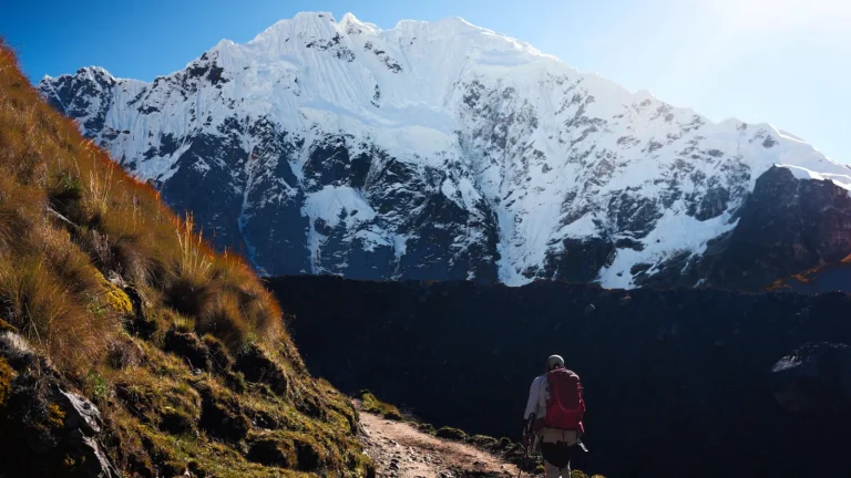
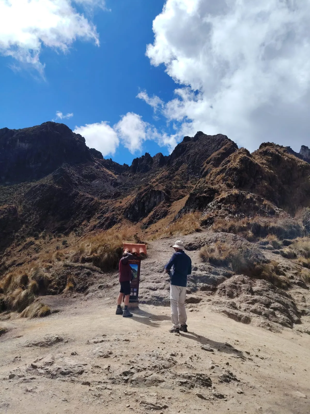
- Day 2, km 14 to 24: Ayapata – Dead Woman’s Pass – Runkurakay – Sayacmarca – Chaquicocha. The hardest day: about 900 m of climbing to the pass before lunch, then a second pass and the descent to camp.
- Day 3, km 24 to 33: Chaquicocha – Phuyupatamarca – Intipata – Wiñay Wayna. A long descent on Inca stairs through cloud forest, with the best Inca sites of the trail.
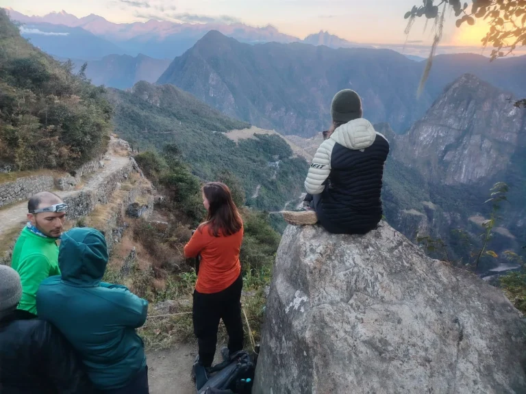
- Day 4, km 33 to 40: Wiñay Wayna – Sun Gate – Machu Picchu. An early start to reach the Sun Gate around sunrise, then a guided tour of the citadel.
See the full itinerary, inclusions and prices on our Classic Inca Trail 4-day tour.
How hard is the Inca Trail?
It is a challenging trek, but you do not need climbing experience. What makes it hard:
- Day 2: the climb from Ayapata (about 3,300 m) to Dead Woman’s Pass (4,215 m), mostly on stone steps.
- The stairs down: on day 3 you descend more than 1,000 m to Wiñay Wayna. Knees suffer more than lungs.
- Altitude: you sleep at about 3,300 m and 3,600 m on the first two nights. The CDC advises that, above 3,000 m, you should not raise the altitude where you sleep by more than 500 m a night, so arrive in Cusco or the Sacred Valley a few days before the trek.
- Time limits: the trail network is open from 05:00 to 14:00 for entry, and walking between 18:00 and 05:00 is forbidden, so each day has a fixed pace.
What makes it easier: porters carry the camp and the kitchen. By law (Law 31614), a porter can carry at most 20 kg if he is a man and 15 kg if she is a woman, and must be at least 18. On our tour an extra porter also carries up to 7 kg of your personal gear, so you only walk with a daypack.
If four days is too much, the Short Inca Trail covers the last section from Km 104 in one day of hiking. Compare all the options in the best treks to Machu Picchu.
Inca Trail weather and the best time to go
The Machu Picchu Sanctuary master plan describes a dry season from April to August and three very rainy months, January to March; September and October are transition months. The trail itself crosses several climates, from the warm river valley to cold, windy passes above 4,000 m, so nights at the high camps can be cold in any season.
- February: the trail is closed every year for maintenance (1 to 28 February in 2026).
- Busiest months: in 2025, the months with most hikers on the Inca Trail network were April, September and October, with more than 8,000 each, according to our calculation from the Ministry of Culture’s visitor figures. Book those months well in advance.
- Quietest open months: January and December.
- Rain closures: heavy rain can close the trail at short notice. In 2026 the Ministry of Culture suspended access from 18–19 August and reopened routes 1 to 3 on 6 September.
Read the month-by-month guide to the best time to visit Machu Picchu.
Inca Trail rules you should know
- No independent hikers: you can only hike with a registered agency and an official guide, who must stay with the group.
- Permits are personal: each permit carries your name and passport number. Since September 2026, registered agencies buy them in each traveler’s name through the official TuBoleto platform.
- Daily limit: 500 people a day on the network’s main routes, a figure that includes guides, porters and cooks.
- Walking poles: metal tips must have rubber protectors.
- Not allowed: fires, glass, alcohol, drones, pets, musical instruments and knives with blades over 7 cm.
- Water and rubbish: bring a reusable bottle or canteen; single-use plastic bags, straws and polystyrene are restricted in the Sanctuary, and all rubbish is carried out.
- Toilets: at the campsites.
- Machu Picchu entry: Inca Trail hikers enter the citadel through circuit 3-B.
Check dates with permits on our Inca Trail permits 2027 page.
Age limits and permit fees
- Age: there is no official minimum or maximum age. Children must be on the group’s list like any other hiker. Whether a child can do it depends on fitness and experience.
- Official permit fee for Route 01 (Ministry of Culture fee schedule, in force since 2025): S/ 292 general, S/ 147 for students in higher education and S/ 135 for minors aged 3 to 17.
- On our tours the permit and the Machu Picchu entry are included in the price.
What to pack
Pack layers for cold nights and hot afternoons, a rain jacket, broken-in hiking shoes, a headlamp, sun protection and your original passport. For Machu Picchu itself, remember the 40 × 35 × 20 cm bag limit and that food and aerosols are not allowed inside: see what to wear and pack for Machu Picchu.
Print it: packing checklists for Machu Picchu, the Classic Inca Trail and the Short Inca Trail (PDF, 3 pages), with tick boxes, the 40 × 35 × 20 cm bag limit and the items that are not allowed.
Frequently asked questions
How long is the Classic Inca Trail?
About 40 km in four days and three nights on our route profile. MINCETUR gives 42 to 43 km; the Ministry of Culture does not publish an official distance.
What is the highest point of the Inca Trail?
Dead Woman’s Pass (Warmiwañusqa), at 4,215 m (13,829 ft), on day 2.
Can a beginner hike the Inca Trail?
Yes, if you are in good general health and prepare: the trail is not technical, but day 2 is long and steep and the altitude makes everything harder. Train on stairs and hills and arrive in Cusco a few days early.
Is there a minimum age for the Inca Trail?
No. The regulations set no minimum or maximum age. Minors aged 3 to 17 pay a reduced permit.
When is the Inca Trail closed?
Every February, for maintenance. It can also close at short notice after heavy rain, as it did from 18–19 August to 6 September 2026.
Where do you sleep on the Inca Trail?
In tents at campsites assigned by the Ministry of Culture. On our tour: Ayapata, Chaquicocha and Wiñay Wayna.
Can I hike the Inca Trail without a guide?
No. Independent hikers are not allowed: you need a registered agency and an official guide.
How much can porters carry?
By law, up to 20 kg for men and 15 kg for women. Porters must be at least 18.