In this article
- Quick answer
- Cusco elevation in metres and feet
- Why do sources say 3,399, 3,400 or 3,439 metres?
- Altitude of Cusco’s districts
- Around the historic centre: how much you climb on foot
- Going up or down from Cusco
- Altitude table: places you visit from Cusco
- What 3,439 m means for your trip
- Frequently asked questions
- Sources
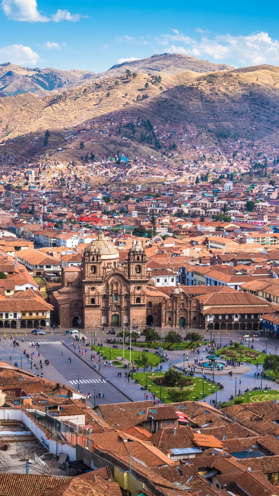
Cusco, Peru, sits at 3,439 metres (11,283 feet) above sea level, according to the 2025 Cusco statistical compendium of INEI, Peru’s national statistics institute. But the city is not flat: its urban districts range from about 3,290 to 3,465 m, the Inca sites on the hills above it reach 3,805 m, and most day trips take you either well above or well below the city. This guide gives the elevation of each part of Cusco and of the places you visit from it, with a chart that shows whether you go up or down. Data checked on 11 November 2026.
Sources: INEI (Compendio Estadístico Cusco 2025, table 1.2), the Sacsayhuamán Archaeological Park Master Plan 2024–2030 of the Decentralized Directorate of Culture of Cusco, MINCETUR’s tourism inventory, UNESCO, Andina and SENAMHI. Points inside the city: our own reading of NASA’s SRTM elevation data.
Quick answer
- Cusco: 3,439 m (11,283 ft), the official figure for the city in INEI’s 2025 compendium.
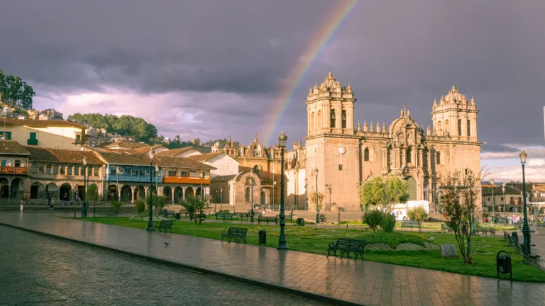
- Plaza de Armas: about 3,400 m (11,155 ft), according to satellite elevation data. That is why you also see “3,400 m” online.
- The city slopes down to the southeast: from Santiago (3,464 m) and the centre to San Sebastián (3,301 m) and San Jerónimo (3,289 m), along the Huatanay valley.
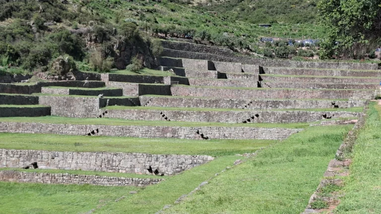
- Above the city: Sacsayhuamán is at about 3,590 m and Tambomachay, the highest stop of the City Tour, at 3,805 m.
- Below the city: the Sacred Valley towns are 450 to 570 m lower, and Machu Picchu (2,430 m) about 1,010 m lower.
 From the Plaza de Armas up to Tambomachay
Cusco City Tour: Qorikancha, Sacsayhuamán & 3 Inca Sites
See itinerary & dates →
Cusco elevation in metres and feet
| Point | Metres | Feet | Source |
|---|---|---|---|
| Cusco (official figure for the city) | 3,439 | 11,283 | INEI 2025 |
| Plaza de Armas | about 3,400 | about 11,155 | SRTM satellite data |
| Older figure, still common online | 3,399 | 11,152 | Earlier INEI editions |
Feet are converted from metres (1 m = 3.28084 ft).
Why do sources say 3,399, 3,400 or 3,439 metres?
All three figures describe Cusco, but they are not the same measurement:
- 3,439 m is the altitude INEI gives for the capital of the Cusco district in its 2025 compendium, published in January 2026. It is the current official figure, and the one we use on all our pages.
- 3,399 m is the figure of earlier INEI editions. Many websites and guidebooks still copy it.
- About 3,400 m is what satellite elevation data give for the Plaza de Armas. We read NASA’s SRTM data, which has a resolution of 30 m and a margin of error of several metres, at the square and at the coordinates INEI publishes for the city, and both come out close to 3,400 m.
The difference is less than 40 m, much less than the climb from the Plaza de Armas to Sacsayhuamán. For your body, Cusco is simply “about 3,400 m”.
Altitude of Cusco’s districts
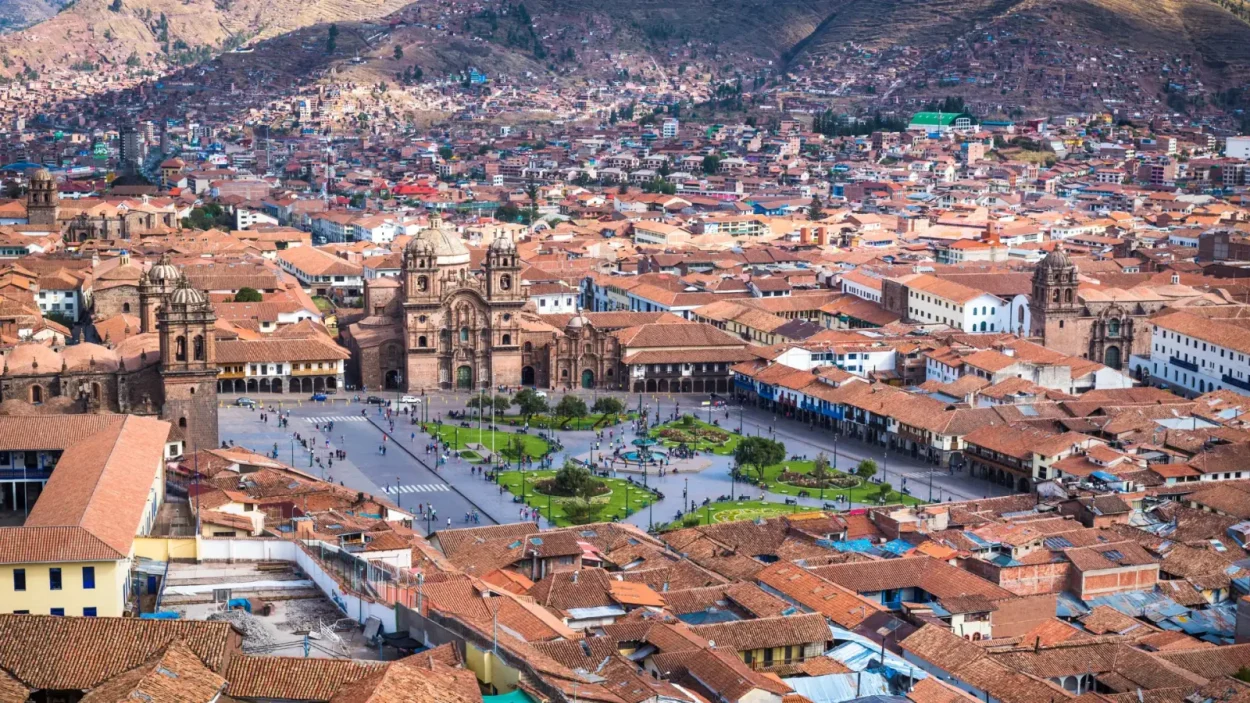
The city of Cusco spreads over several districts along the Huatanay valley. INEI gives the altitude of each district’s capital:
| District | Metres | Feet | Compared with Cusco |
|---|---|---|---|
| Ccorca (rural, west of the city) | 3,675 | 12,057 | +236 m |
| Poroy (on the road to the Sacred Valley) | 3,508 | 11,509 | +69 m |
| Santiago | 3,464 | 11,365 | +25 m |
| Cusco | 3,439 | 11,283 | — |
| Wanchaq | 3,424 | 11,234 | −15 m |
| San Sebastián | 3,301 | 10,830 | −138 m |
| San Jerónimo | 3,289 | 10,791 | −150 m |
| Saylla | 3,179 | 10,430 | −260 m |
Source: INEI, Compendio Estadístico Cusco 2025, table 1.2 (altitude of each district’s capital). Feet converted from metres. The city goes down toward the southeast: SENAMHI’s Granja Kcayra weather station, on the valley floor in that direction, is at 3,214 m, about 225 m below the official altitude of Cusco, so readings in the city can differ somewhat from its averages, as we note in our Cusco weather guide.
Around the historic centre: how much you climb on foot
Inside the historic centre the slopes are short but steep, and you feel them at this altitude. Approximate heights from satellite data (SRTM), rounded to 10 m:
- Plaza de Armas: about 3,400 m.
- San Pedro Market: about 3,410 m, almost level with the square.
- Plaza San Blas: about 3,430 m, some 30 m above the Plaza de Armas up steep, narrow streets.
- Cristo Blanco: about 3,580 m, some 180 m above the Plaza de Armas.
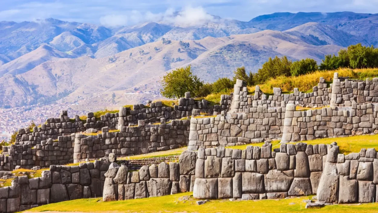
- Sacsayhuamán: about 3,590 m at the great walls and 3,607 m at the Rodadero, according to the park’s Master Plan.
Walk slowly uphill, above all on your first day. For the sights along the way, see our guide to the historic centre of Cusco.
Going up or down from Cusco
Cusco is the base for almost every trip in the region. Some excursions climb more than 1,500 m above the city, and others take you down more than 1,000 m. The chart compares each place with Cusco’s 3,439 m.
The usual excursions fall into three groups:
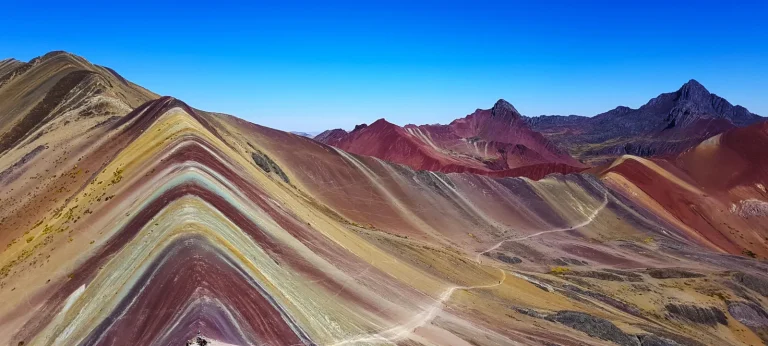
- Higher than Cusco: the archaeological sites above the city (Sacsayhuamán, Q’enqo, Puka Pukara and Tambomachay), Chinchero and the high treks: Humantay Lake, the Inca Trail pass and Rainbow Mountain.
- A little lower: Maras and Andahuaylillas, in the South Valley.
- Much lower: the Sacred Valley (Pisac, Urubamba, Ollantaytambo), Aguas Calientes and Machu Picchu.
Altitude table: places you visit from Cusco
| Place | Metres | Feet | Compared with Cusco | Source |
|---|---|---|---|---|
| Rainbow Mountain (Vinicunca), viewpoint | 5,036 | 16,522 | +1,597 m | MINCETUR |
| Dead Woman’s Pass, Inca Trail | 4,215 | 13,829 | +776 m | Andina |
| Humantay Lake | 4,200 | 13,780 | +761 m | MINCETUR |
| Tambomachay | 3,805 | 12,484 | +366 m | Master Plan |
| Puka Pukara | 3,786 | 12,421 | +347 m | Master Plan |
| Chinchero | 3,759 | 12,333 | +320 m | INEI |
| Q’enqo | 3,603 | 11,821 | +164 m | Master Plan |
| Sacsayhuamán, great walls | about 3,590 | about 11,780 | +151 m | Master Plan |
| Maras | 3,381 | 11,093 | −58 m | INEI |
| Andahuaylillas | 3,139 | 10,299 | −300 m | INEI |
| Pisac | 2,986 | 9,797 | −453 m | INEI |
| Urubamba | 2,885 | 9,465 | −554 m | INEI |
| Ollantaytambo | 2,871 | 9,419 | −568 m | INEI |
| Machu Picchu citadel | 2,430 | 7,972 | −1,009 m | UNESCO; Ministry of Culture |
| Aguas Calientes (Machu Picchu Pueblo) | 2,092 | 6,864 | −1,347 m | INEI |
INEI gives the altitude of each town’s district capital. The Master Plan is the Sacsayhuamán Archaeological Park Master Plan 2024–2030. For Machu Picchu, Huayna Picchu and the treks around them, see our Machu Picchu elevation guide.
What 3,439 m means for your trip
- Less oxygen per breath: at Cusco’s altitude the air pressure is about 65% of sea level, according to the international standard atmosphere. Compare it with Denver, Machu Picchu and Rainbow Mountain in the oxygen table of our Machu Picchu elevation guide.
- Altitude sickness: the US CDC says the risk begins when you sleep at 2,450 m or higher, and Cusco is about 1,000 m above that. Read our guide to altitude sickness in Cusco for symptoms and prevention.
- Sleep lower at first if you can: many itineraries go straight down to the Sacred Valley (2,871–2,986 m) on the first night and leave Cusco and the high treks for later.
- Leave the high excursions for the end: Humantay Lake and Rainbow Mountain are 760 to 1,600 m above Cusco. Spend at least two or three days in the city first.
 Go down to the Sacred Valley, about 500 m lower
Traditional Sacred Valley Tour from Cusco: Pisac, Ollantaytambo and Chinchero
See itinerary & dates →
Frequently asked questions
How high is Cusco, Peru?
3,439 metres (11,283 feet) above sea level, according to INEI’s 2025 compendium. The Plaza de Armas is at about 3,400 m.
What is the elevation of Cusco in feet?
11,283 feet, the conversion of the official 3,439 m. The Plaza de Armas is at about 11,155 ft.
Why do some websites say Cusco is at 3,399 m?
That is the figure of earlier INEI editions. The 2025 compendium gives 3,439 m. The difference, 40 m, does not change anything for your trip.
Is Cusco higher than Machu Picchu?
Yes. Cusco is at 3,439 m and Machu Picchu at 2,430 m, so the city is about 1,010 m (3,310 ft) higher.
Is the Sacred Valley lower than Cusco?
Yes. Pisac (2,986 m), Urubamba (2,885 m) and Ollantaytambo (2,871 m) are between 450 and 570 m lower. Chinchero, on the high road into the valley, is 320 m higher than Cusco, at 3,759 m.
What is the highest place you can visit on a day trip from Cusco?
Rainbow Mountain (Vinicunca), whose viewpoint is at 5,036 m (16,522 ft) according to MINCETUR: about 1,600 m above Cusco.
Which part of Cusco is the lowest?
Of the city’s districts, San Jerónimo, at 3,289 m. Saylla, just beyond it down the valley, is at 3,179 m (INEI).
Sources
- INEI, Compendio Estadístico Cusco 2025, table 1.2: altitude of the capital of each district (published January 2026).
- Decentralized Directorate of Culture of Cusco, Sacsayhuamán Archaeological Park Master Plan 2024–2030 (Sacsayhuamán, Q’enqo, Puka Pukara and Tambomachay).
- MINCETUR, tourism inventory: Vinicunca record (June 2026) and the Humantay Lake record.
- UNESCO World Heritage Centre, Historic Sanctuary of Machu Picchu; Andina (Dead Woman’s Pass).
- SENAMHI, Granja Kcayra station (3,214 m), via the World Meteorological Organization’s climate normals 1991–2020.
- NASA, SRTM elevation data (30 m), read through OpenTopoData: our approximate figures for the Plaza de Armas, San Blas, San Pedro Market and the Cristo Blanco.
- US CDC, Yellow Book, chapter on high-elevation travel; international standard atmosphere (air pressure).